WGIC DEI Trailblazer Awards 2024 – Nominations Now Open
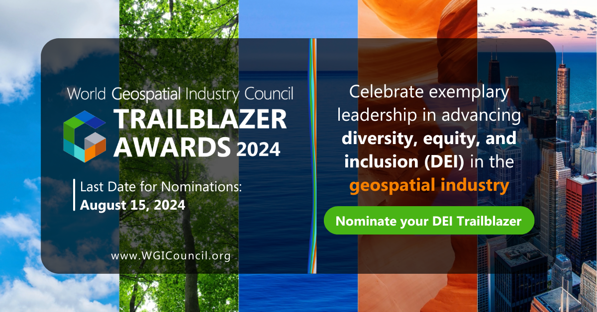
Nomination for WGIC’s DEI Trailblazer Awards 2024 is open, honoring leaders and organizations championing diversity, equity, and inclusion in the geospatial community.

Nomination for WGIC’s DEI Trailblazer Awards 2024 is open, honoring leaders and organizations championing diversity, equity, and inclusion in the geospatial community.
Start-ups and small companies are known for their agility and innovative mindsets and that goes true for their DEI practices too. Delve into insights from WGIC members and their unique DEI strategies to build inclusive cultures from the word go.
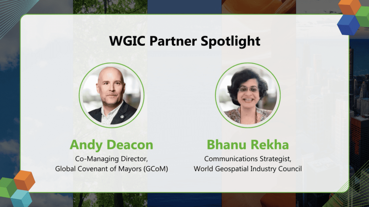
There is a consensus on the value of geospatial data and its role in enhancing local decision-making processes, says Andy Deacon, Co-Managing Director of the Global Covenant of Mayors (GCoM) and stresses the importance of partnerships in co-designing and co-creating solutions at sub-national level.
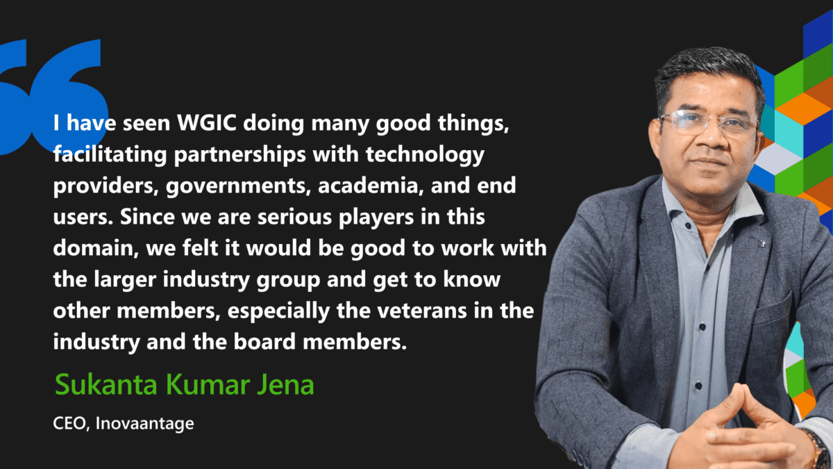
Delve into Dr. Sukanta Kumar Jena’s insights as he unveils Inovaantage’s digital transformation journey and shares perspective on the alignment between Inovaantage’s business aspirations and WGIC’s mission.
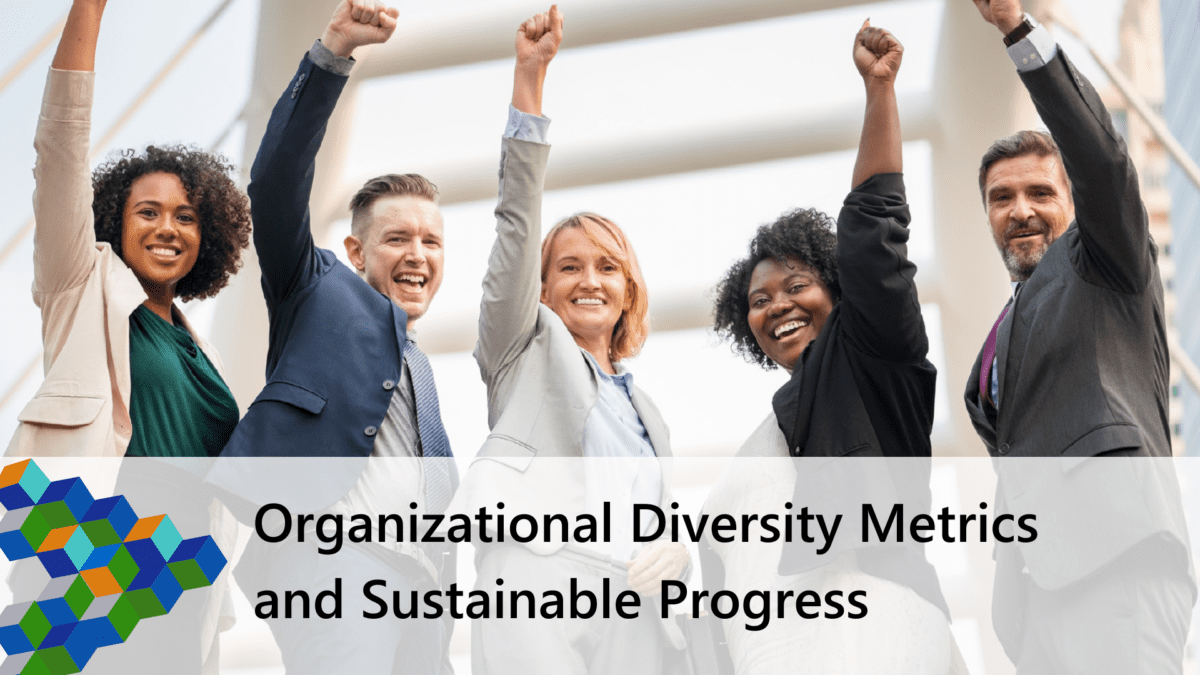
Leadership diversity is imperative for the geospatial industry to innovate and address global challenges today.
Diversity isn’t just foundational; it’s a business imperative. Studies show gender and ethnically diverse teams outperform their industry peers. In geospatial, diversity fosters innovation by bringing varied perspectives, essential for solving complex problems and creating inclusive solutions. Let’s explore further.
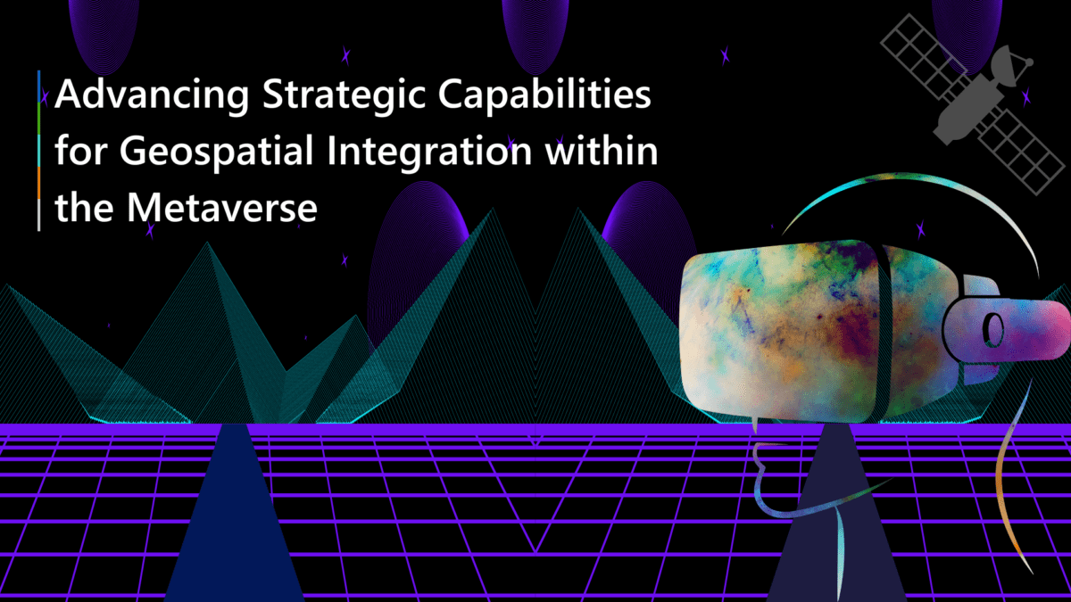
The geospatial community is well-equipped with the concepts and technology to create interactive, immersive 3D visualization and datasets suitable for the metaverse but needs to cover additional ground to build a compelling metaverse. Read on to know more.
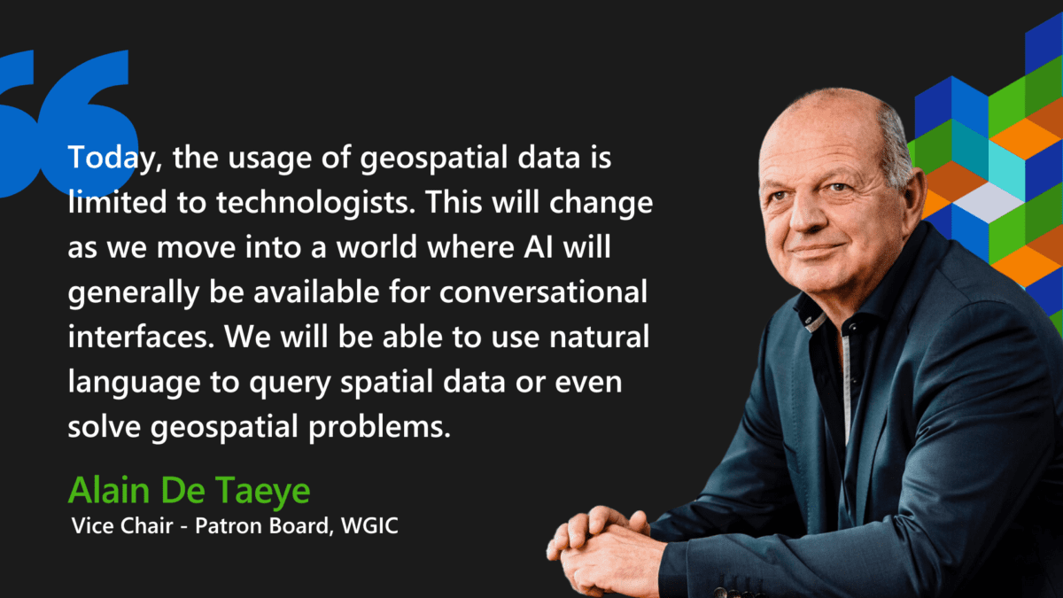
Delve into Alain De Taeye’s message in the Annual Report, highlighting three trends reshaping the geospatial industry and opening it up for even greater usage of geospatial information.
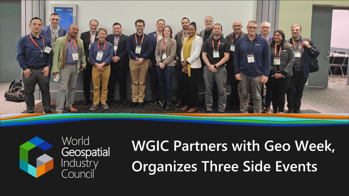
Hosting leading industry sessions, an exhibit, and member and board meeting, WGIC made impactful contributions to the geospatial industry at Geo Week 2024.
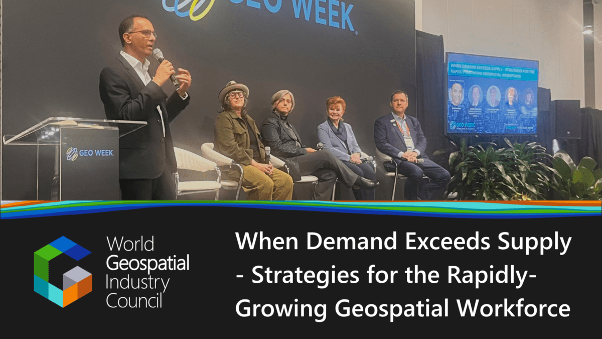
Overcoming the talent gap in the geospatial realm calls for concerted action. Reviewing the education curricula, fostering industry-academia ties, and empowering the workforce with the right skills are integral to promoting an innovation-rich geospatial industry.