
- WGIC partner(s): Picterra
- City journey step(s): Assess Impacts and Risks
- Geospatial data type(s): Geographic Information Systems
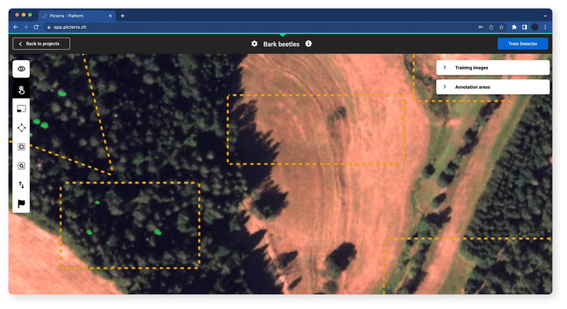
Machine learning models custom-created in the Picterra platform enable fast and accurate land classification, object detection, mapping processes and analysis of high-resolution global urban-area maps, allowing cities to track future urban land-use changes and identify adaptation needs. Geospatial analysis allows cities to monitor environmental parameters such as vegetation health, land cover changes, biodiversity or water resources.
Users can assess the impact of climate change on ecosystems or air quality, track biodiversity preservation efforts in and around the city, and tackle urban heat islands or water pollution. Through the analysis of geospatial data and historical patterns, cities can identify high-risk areas and develop strategies for mitigation and adaptation of hazards like floods, as well as identify suitable locations for renewable energy installations and optimize energy efficiency, supporting the scaling up of renewables in heating, cooling, transportation, and power sectors.