
- WGIC partner(s): Fugro
- City journey step(s): Assess Impacts and Risks, Develop Actions and Adaptation Strategy
- Geospatial data type(s): Geospatial information systems, Risks and vulnerabilities and resource management
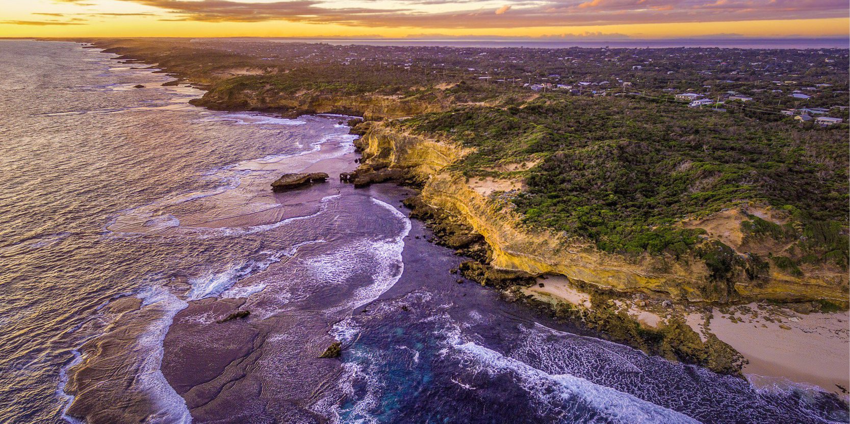
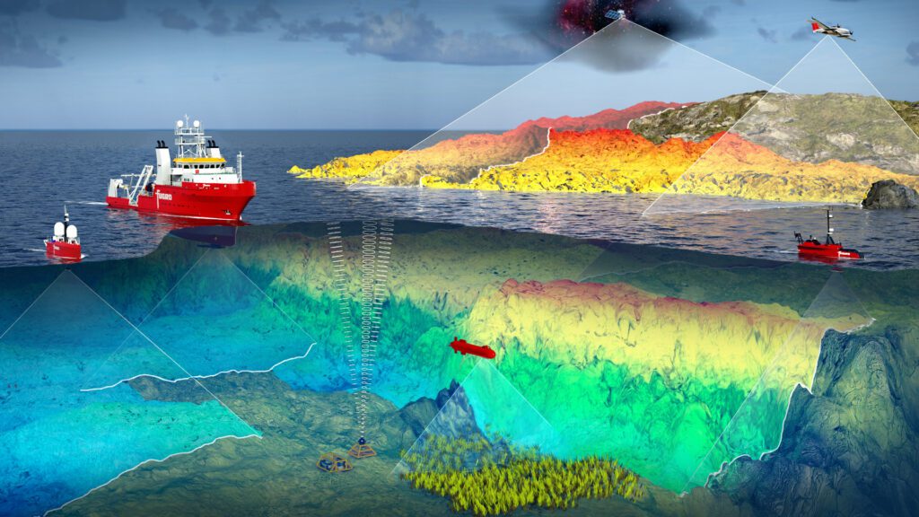
Geospatial data can help low-lying coastal populations make better climate change mitigation and adaptation decisions. Fugro’s coastal resilience tools and solutions provide geospatial insights that help assess the risk and prepare adaptation strategies, including nature-based solutions. Rising sea levels are causing more frequent and severe coastal flooding. Earth observation data, including satellite imagery, airborne data and ocean floor monitoring, are crucial to understanding climate risks. Governments are developing coastal resilience strategies with global and local spatial digital twins to aid planning, monitoring, and action. Vulnerable communities in small island states benefit from remote sensing-based digital twins, helping understand hydrological processes and coastal risks. Predictive analysis and recurring geodata programs inform infrastructure design and development planning for climate resilience. User-friendly access to spatial digital twins, aided by AI analytics and efficient GIS tools, facilitates better data-driven decision-making.
A specific example of Fugro’s LiDAR-based spatial digital twin that has helped coastal and SIDS (Small Island Developing States) stakeholders is the Tuvalu Coastal Adaptation Project, developed by the UNDP with financing from the Green Climate Fund. The resultant models provide an enhanced understanding of the islands’ hydrological processes and complex coastal risks. Tuvalu can now elucidate the relationship between land elevation and sea level, model future scenarios, and inform the design of coastal infrastructure and development planning.