- WGIC partner(s): Esri
- City journey step(s): Develop Actions and Adaptation Strategy, Implement, Monitor and Report
- Geospatial data type(s): Geographic information systems, Digital twins and modeling
Uppsala, Sweden, is the fastest-growing and fourth-largest city in Sweden. As a result of its popularity, it has faced housing shortages and other growing pains. The city is seeking to address these issues sustainably through its green policies, with a pledge to be fossil-fuel-free by 2030 and climate positive by 2050. The Uppsala Climate Protocol brings together 42 local businesses, public agencies, associations, and the city’s two universities to meet its climate challenge. Many of these stakeholders are involved in creating the Uppsala Climate Roadmap, which will create a concrete guide on how to phase out fossil fuels.
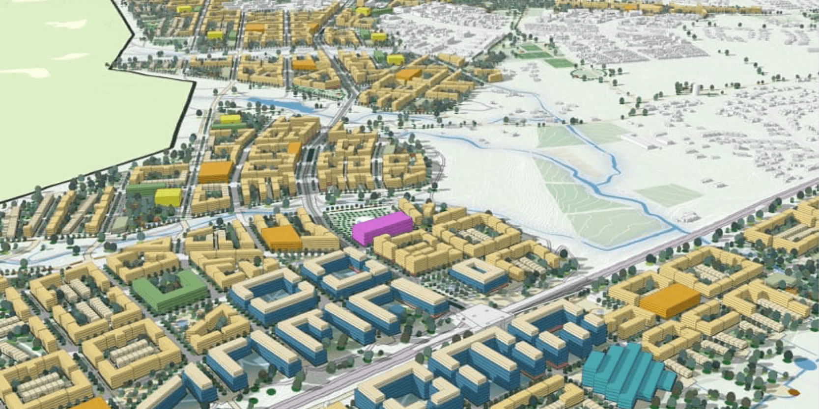
The Uppsala Climate Protocol guides key development decisions that planners use to design green development. Uppsala planners are creating a new, green district using a sustainable urban model with a detailed zoning plan and a 3D model built with Esri’s ArcGIS Urban. This software helps the planners visualize and present plans for the new city district that adds to residents’ quality of life, doesn’t subtract from biodiversity or degrade the environment, and cuts carbon emissions. It supports the planners’ efforts to maximize green space, retain trees and the natural environment, and update traditional city infrastructure management —such as water, wastewater, transport, and energy systems—to be more natural and energy efficient. In addition, the interactive and open 3D model allows anyone to view what has been planned. An online planning site with modeling enables stakeholders and residents alike to provide feedback early on in the planning stages to optimize the response.


