- WGIC partner(s): Esri
- City journey step(s): Assess Impacts and Risks
- Geospatial data type(s): Digital twins and modeling
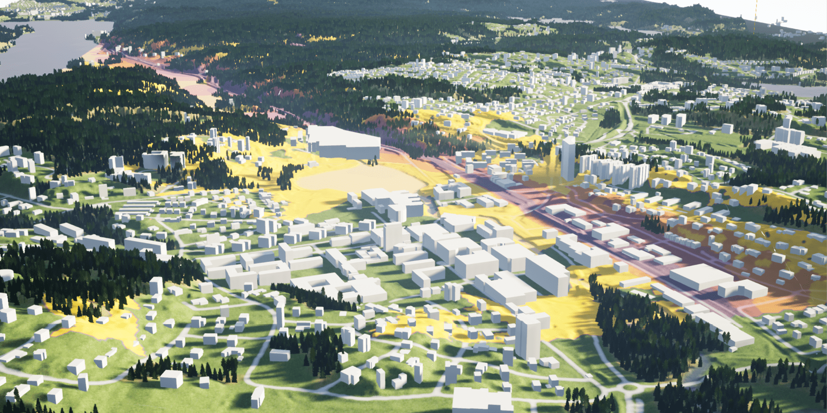
Virtual Gothenburg, is a partnership between the city, Chalmers University, Esri, and others. It incorporates ecologically, economically and socially sustainable data and acts as a platform for planning, monitoring and maintenance and as an open testbed for innovation. As the second largest city in Sweden, Scandinavia’s largest port, and a frontrunner in sustainability, Gothenburg uses its 700 sq km digital twin to understand historical data, use real-time data to control and regulate its infrastructure and simulate scenarios to predict future impacts to the city.
Using Esri’s CityEngine software, new data was collected and categorized for this project, including a detailed and comprehensive inventory of city buildings- including attributes such as rooftop materials, the number of floors, what kind of windows it has, or the year of construction; streets and street-level data such as lampposts or benches; tree inventory and more. These models were then used with a gaming engine to generate a virtual or simulated version of the city in real time. Testing future scenarios in the digital twin can help predict outcomes from storms, flooding, or population growth to learn and build a more sustainable city.


