
The WGIC Project Funding & Sustainability (P&FS) Committee works to advance innovative financing models that enable sustainable growth across the geospatial sector. The Committee’s work explores the evolving landscape of business and project funding—bridging traditional mechanisms with emerging investment approaches—to ensure that geospatial innovation continues to deliver both economic and environmental value.
In parallel, the Committee, which meets on the first Thursday of every month, prioritises sustainability as a core pillar of responsible industry practice, recognising that economic progress and environmental stewardship must move forward together.
The Committee enjoys the stewardship of Chairperson Willy Govender (Vastpoint) along with the proactive engagement of members Andrew Coote (ConsultingWhere), Matthew Pennells (Esri), Menghestab Haile (GeoSAS), Adina Gillespie (Hexagon Geosystems), Narendra Babu Vattem (iSpatial Techno Solutions), Kathleen Martin (MBS), and Chris Tanner (Woolpert).
Exploring Diverse Funding Pathways for Geospatial Innovation
Traditional public funding has long supported the foundational work of mapping, surveying, and spatial data infrastructures (SDIs). However, as technology advances and new applications emerge—from AI-driven spatial analytics to climate monitoring and smart infrastructure—many projects require funding models that go beyond conventional sources.
Over the last year, the Committee examined several complementary funding pathways, including:
- Venture Capital (VC): Examining the growing role of private investment in geospatial companies – startups to multinationals. This includes understanding risk profiles, ROI expectations, and the challenges of attracting VC funding in a highly specialized field.
- Public-Private Partnerships (PPPs): Showcasing how collaboration between governments and industry can finance large-scale infrastructure, mapping, and environmental monitoring projects.
- Crowdfunding: Exploring community-driven and localized funding models that empower smaller, grassroots initiatives to deliver social and environmental impact.
- Green & ESG Investing: Highlighting how environmental, social, and governance (ESG) frameworks guide investors toward projects that contribute to sustainability and climate resilience.
The Committee explored how location intelligence not only drives operational efficiency and informs decision-making but also supports sustainable growth and responsible investment. By using the revealing insights from geospatial algorithms, leaders can identify funding priorities, allocate resources more effectively, and build resilient projects that deliver long-term value. This, in turn, helps organizations harness the full potential of geospatial technology to attract sustainable funding, optimize performance, and secure the lasting financial and environmental health of their operations.
Building Awareness Through Podcast Discussions
A thorough exploration of these dynamics has led the Committee to launch a multifaceted approach to build awareness about the financial tools available to drive geospatial progress.
The Committee launched a multi-episode podcast series to translate complex financial and environmental concepts into real-world stories—amplifying the voices of innovators, investors, and policymakers shaping the future of the geospatial industry.
The podcast aims to:
- Illuminate the challenges and opportunities in geospatial project funding
- Highlight the business value of geospatial solutions
- Highlight successful examples of sustainability in action
- Inspire collaboration and knowledge exchange across sectors
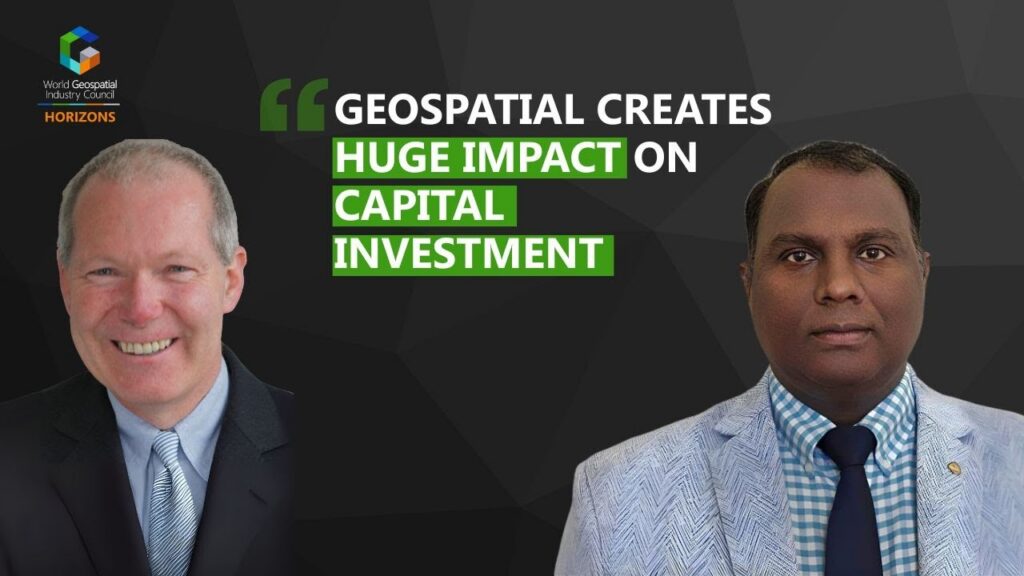
In an eye-opening conversation, Vattem Narendra Babu and Andy Coote examined how investors assess risks in geospatial projects, stressing the need for clear use cases and operational execution. They highlighted that sustainable funding and stakeholder engagement are key to realizing long-term geospatial value.

In another engaging conversation, strategy expert Simon Musäus and Matthew Pennells discussed how subscription-based models and innovative funding approaches are redefining the geospatial industry. Their discussion explored trends in private equity, defense spending, startups, and PPPs to promote sustainable growth and smarter investment.
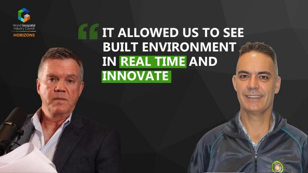
In a discussion with Matthew Ferguson, Manager of Valuation Surveys and Data Quality at the City of Cape Town, Chris Tanner of Woolpert explored how combining geospatial insights with financial data can strengthen sustainable funding models and more responsive local governance. The episode highlights how near-real-time geospatial insights improve data quality, revenue collection, and resilient, people-centric city planning in Cape Town.
Partnerships for Sustainable Innovation: The Geovation Accelerator Program
The Committee has engaged in ongoing discussions and a great podcast conversation with Gareth Sumner, Head of Geovation, an Ordnance Survey (OS) initiative in association with HM Land Registry, to connect industry challenges with startup solutions.
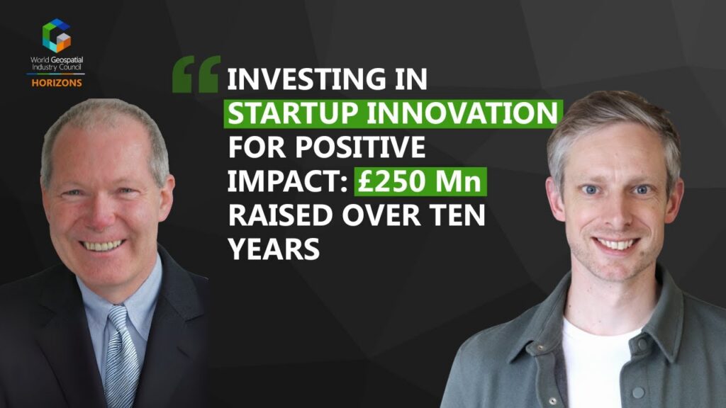
The podcast explored how innovation hubs such as Geovation bridge the gap between fast-moving startups and established public sector institutions. The episode examined how Geovation supports entrepreneurs in utilizing geospatial and property data to solve real-world problems, why long-term commitment is essential for startup success, and how experimentation, risk-taking, and collaboration help shape the future direction of the geospatial industry.
Through collaboration with Geovation, the Committee seeks to strengthen the pipeline of sustainable innovation and identify pathways to broader industry adoption.
Valuation Challenges of Location Data: UN-IGIF Funding Guide
On a related note, the Committee is following the UN-IGIF Funding Guide with interest, particularly its insights into the unique valuation challenges of location data and NSDIs. Researchers highlight that many benefits from such investments fall outside traditional market frameworks and that public provision of geospatial data complicates conventional pricing approaches.
Economists have developed different approaches to estimate the value of tangible and intangible benefits of geospatial solutions. As the UN-IGIF Funding Guide discusses these approaches and the economic concepts behind them, the PF&S Committee is exploring them and raising awareness within the larger geospatial ecosystem.
2026 Focus Areas
The Committee proposes a 2026 work plan centred on strengthening the global geospatial investment landscape through financial innovation, responsible growth, and targeted industry outreach.
Complementing the podcast, the Committee will roll out a structured investor outreach program, packaging “Investor Notes,” an interactive funding innovation landscape map, and an online roundtable with key experts — based on the series and to build a shared understanding of geospatial business models, revenue mechanisms, ROI expectations, and ESG impacts. These initiatives will position WGIC as a key facilitator of dialogue between the geospatial sector, institutional investors, development banks, and climate-finance actors.
To ensure the industry’s responsible and sustainable expansion, the Committee’s 2026 work plan aims to include developing responsible funding principles and incorporating ESG guidance for geospatial companies. Collectively, these actions aim to create the enabling conditions for balanced growth—where financial innovation, environmental stewardship, and technological advancement reinforce one another—while establishing WGIC as the global voice shaping the future of geospatial funding.
Conclusion
As the geospatial industry continues to evolve, the PF&S Committee remains focused on creating the conditions for responsible growth—where financial innovation, environmental protection, and technological progress coexist in balance. It is critical to bridge the communication and cultural gap between geospatial technology and investors.
Through strategic partnerships, educational outreach, and the exploration of new funding models, the Committee is helping to build a geospatial ecosystem that supports both economic resilience and planetary health.