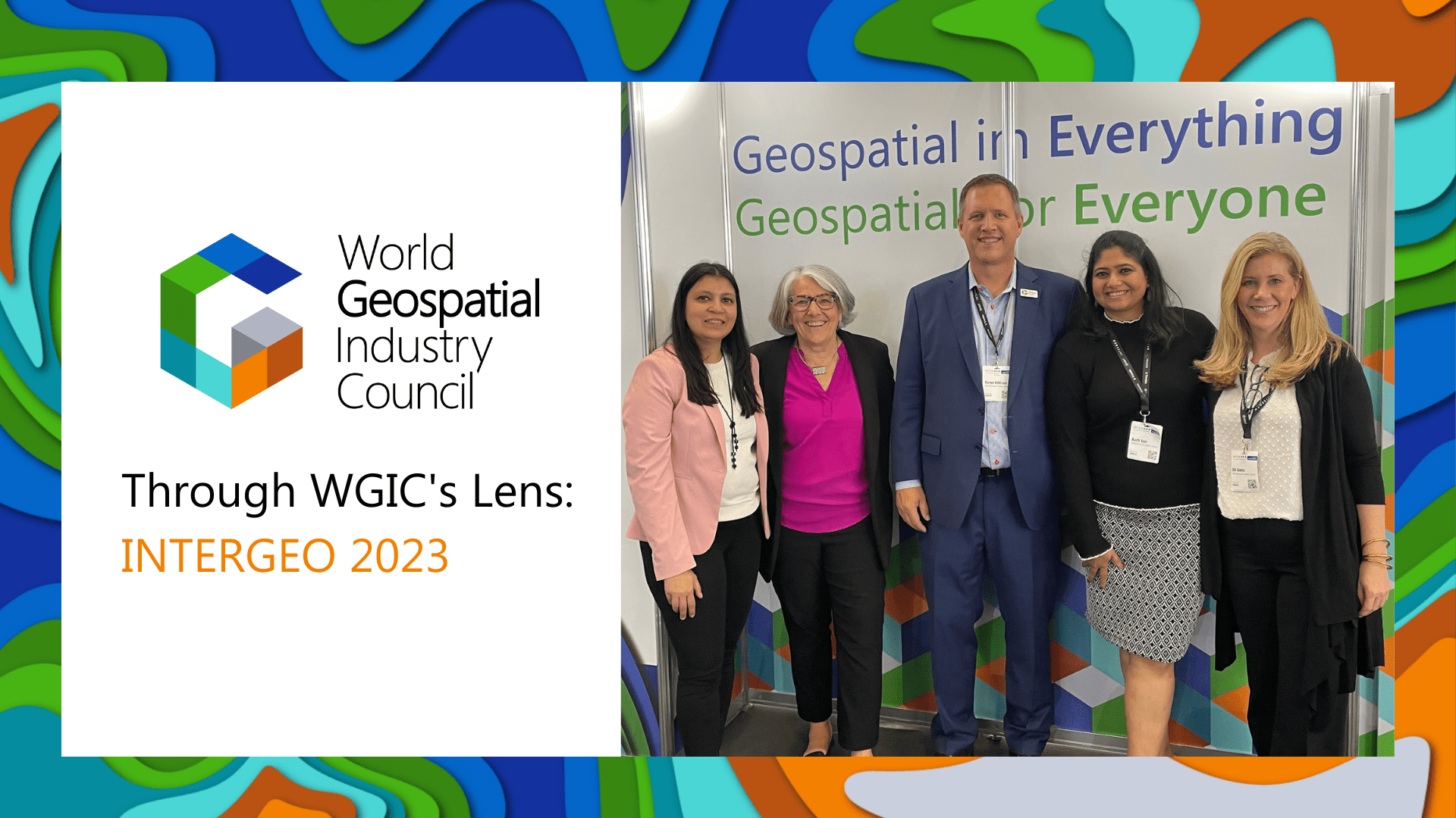
As a competence partner of INTERGEO 2023, the World Geospatial Industry Council (WGIC) actively participated in the conference program, leading several sessions aimed at sharing knowledge with the INTERGEO community. From engaging in insightful conversations about the metaverse, ocean business, and climate action to unveiling three reports and unveiling its new brand identity, WGIC’s presence at INTERGEO 2023 was enlightening and inspiring. Discover the latest trends, industry connections, and WGIC’s efforts in Diversity, Equity, and Inclusion (DEI) as we highlight the key moments from INTERGEO 2023 in this blog.
Opening Ceremony

This year’s INTERGEO opening ceremony set the stage for a visionary exploration of geospatial technology’s pivotal role in our future. The ceremony featured key figures in the geospatial industry, including Jack Dangermond, Founder and President Esri, Boris Skopljak, Vice President of Surveying and Mapping Strategy at Trimble, Katherine Broder, Executive Vice President of Hexagon Geosystems along with Barbara Ryan of WGIC. Together, they emphasized the importance of geospatial technology in shaping our future, promoting global collaboration in harnessing location-based data for addressing pressing challenges and fostering innovation for a more sustainable and interconnected world.
New Brand Identity
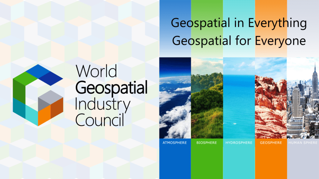
WGIC unveiled its new brand identity at its quarterly board meeting (QBM) organized on the sidelines of INTERGEO and shared the compelling narrative behind its transformative change. Learn more about the rebranding at https://wgicouncil.org/wgic-unveils-new-brand-identity-geospatial-in-everything-geospatial-for-everyone/
WGIC unveiled three policy reports on this occasion on some of the pressing issues of the industry. The first report, Bringing Geospatial Context to the Metaverse, explores the integration of geospatial technology into the burgeoning metaverse, offering strategic insights for navigating this evolving landscape. It delves into the potential opportunities and challenges the commercial metaverse market presents. The second report titled Leadership Diversity in Geospatial Industry, underscores the importance of diversity in organizational leadership within the geospatial sector, providing proven strategies and insights to foster leadership diversity in geospatial industry.
The third report, Africa Geospatial Public-Private Partnerships, presents the business and financial considerations for embarking on geospatial PPPs in Africa, while offering a comprehensive readiness index to gauge the preparedness of African nations for geospatial PPPs. Together, these reports address critical aspects of the geospatial industry’s future and its role in a rapidly changing world.
Metaverse Panel Discussion
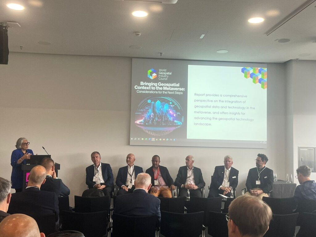
At INTERGEO 2023, WGIC seized the opportunity to delve into the concept of the metaverse and the invaluable contributions of geospatial technology to this digital realm. The panelists representing the geospaital ecosystem shared their insights, including the opportunities and challenges of advancing the metaverse building on the perspectives introduced in its latest report, “Advancing the Role of Geospatial Data and Technologies – From Digital Twins to the Metaverse.”
The selection of the metaverse as WGIC’s current focus builds upon the foundation laid by the Spatial Digital Twins report from the previous year. To further examine this chosen area of focus and to build upon the progress made in 2022, WGIC scrutinized the role of geospatial data and technologies in shaping the metaverse. It is imperative that the spatial data, tools, products, services, technologies, and expertise available within WGIC member organizations are harnessed to craft a metaverse that faithfully mirrors the physical universe in which we reside.
Get a free copy of WGIC’s Metaverse Report: https://wgicouncil.org/bringing-geospatial-context-to-the-metaverse/
Geospatial Tech Empowers Cities in Climate Action
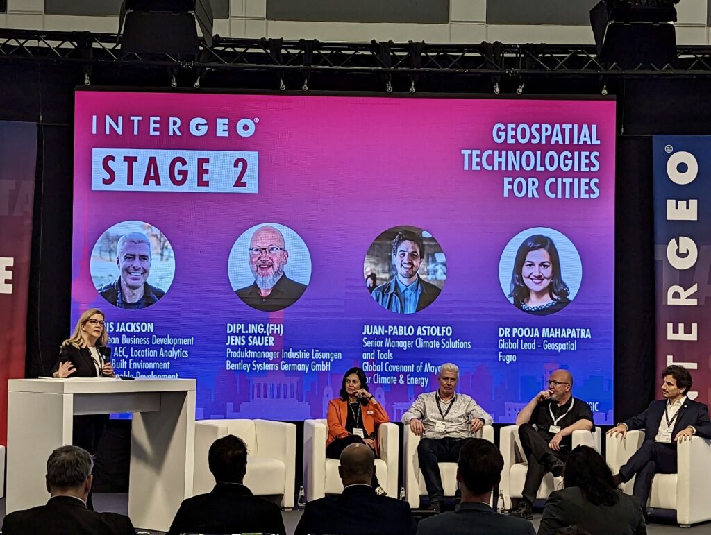
Geospatial technology is a vital tool to combat climate change, a point emphasized during the “Geospatial Technologies for Cities” panel. Cities, being on the front lines of this battle, face substantial risks to their assets and inhabitants. As highlighted in the discussion, geospatial technology offers crucial insights into climate change processes, aiding cities in informed decision-making and strategy development to mitigate its impacts. By utilizing geospatial data and tools, cities can assess their climate readiness, bolster monitoring capabilities, and effectively plan and execute climate adaptation and mitigation measures.
The panel also featured geospatial companies sharing real-world case studies and projects, ranging from sustainability to coastal resiliency, demonstrating the tangible benefits of geospatial technology. WGIC, through its Partnership and Industry Engagement (P&IE) Committee, actively champions the use of geospatial technologies for city-level climate action, collaborating with the Global Covenant of Mayors for Climate and Energy (GCoM) and participating in climate-focused events like “Unlocking City Climate Action with Advanced Data and AI.
Geospatial Tech’s Role in Ocean Business
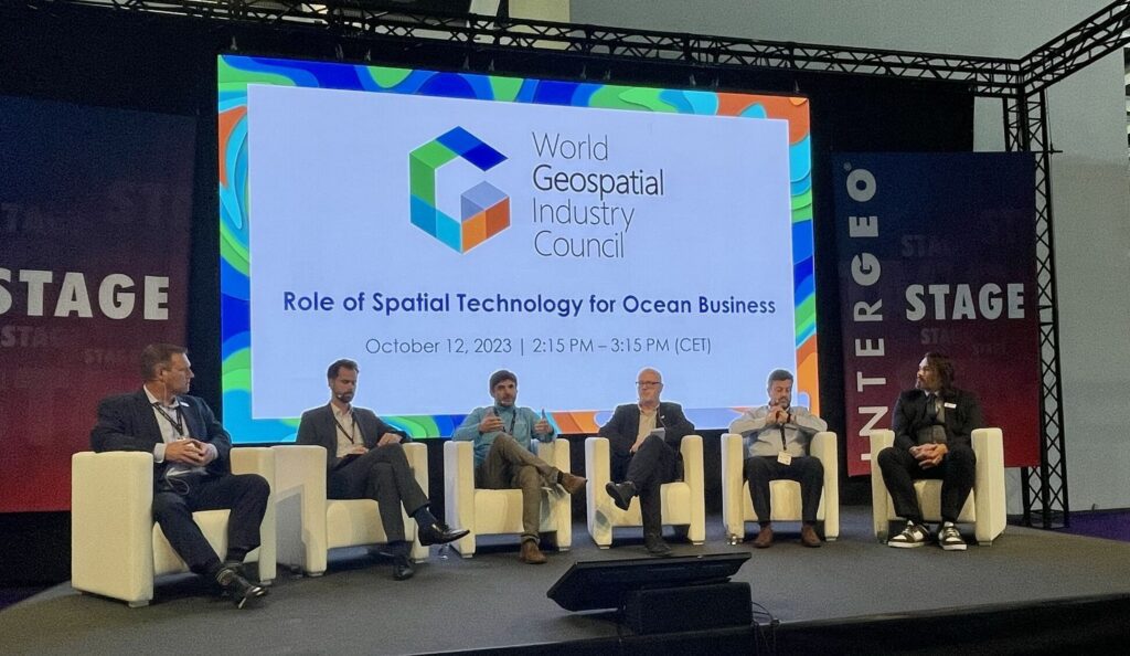
Geospatial data, technologies, tools, and services have traditionally been essential for terrestrial analyses. Still, with over 70% of the Earth’s surface submerged in oceans, there’s a greater need to extend these methodologies to oceanic regions. During the WGIC panel titled “Role of Spatial Technology for Ocean Business,” geospatial solution companies provided insights into the diverse applications of geospatial technologies in near-shore, transitional, and deep-water environments.
This discussion showcased the expanding role of geospatial tech in ocean-related industries. From mapping the seabed to optimizing shipping routes, these tools are revolutionizing how we approach ocean business. Geospatial technology is providing invaluable insights, bridging the gap between our knowledge of terrestrial and marine worlds and deepening our understanding of oceanic ecosystem.
WGIC Celebrates DEI Excellence in the Geospatial Industry
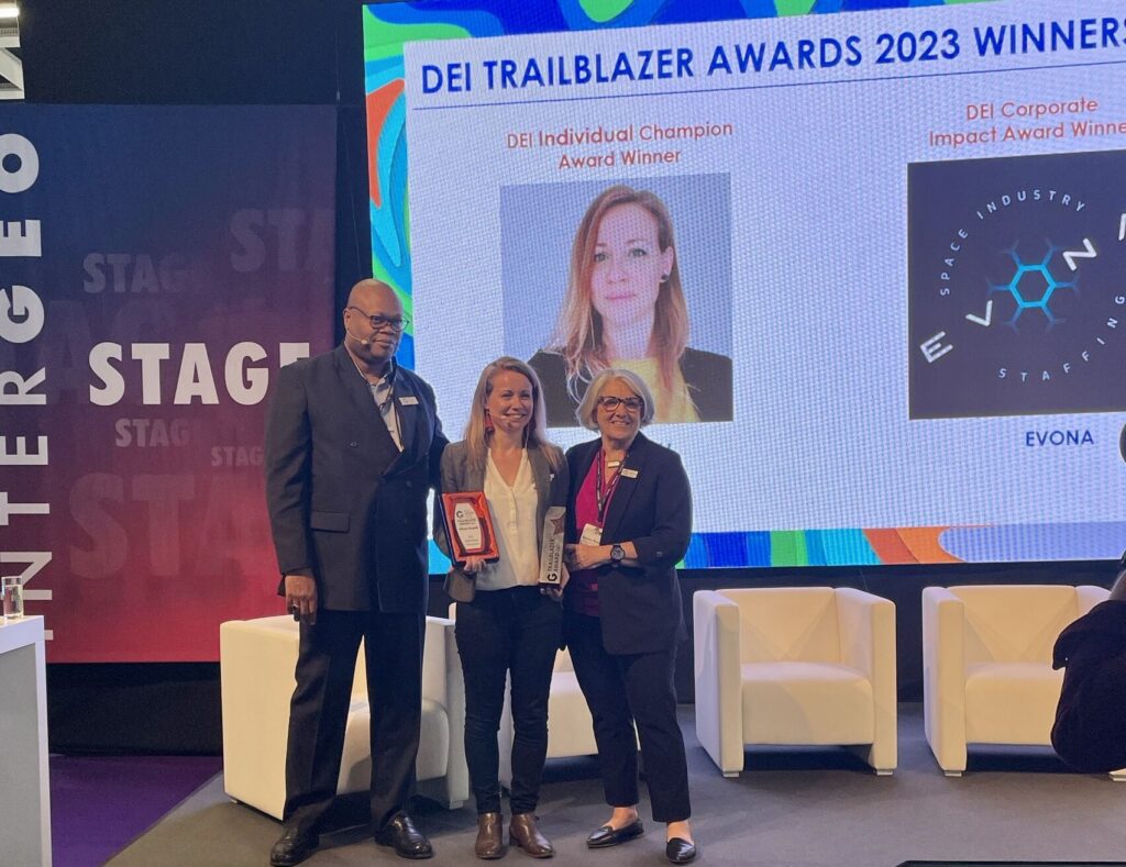
In keeping with the tradition initiated in 2022 and in pursuit of its mission to enhance the geospatial industry’s contributions to society and the global economy, WGIC hosted the DEI Trailblazer Awards 2023 ceremony at INTERGEO to celebrate and recognize individuals and organizations making stellar contributions to advancing DEI in the geospatial sector. This year’s awardees included Olivia Powell (DEI Individual Champion Award) and EVONA (DEI Corporate Impact Award) for their notable efforts in fostering DEI within the geospatial industry.

The DEI panel titled “Leadership Diversity in the Geospatial Industry,” united prominent figures in the field, including industry leaders, academics, diversity advocates, and emerging voices. This session highlighted several dimensions of DEI or the lack thereof within the geospatial sector. The panelists provided valuable insights and shared their personal experiences, underscoring the vital role of advancing DEI initiatives to foster innovation and create a more inclusive geospatial environment. The discussion served as a platform to highlight the ongoing efforts and commitment of WGIC to advocate for DEI in the geospatial field.
WGIC’s Booth at INTERGEO

At INTERGEO 2023, WGIC was prominently featured in the exhibition hall with a dedicated booth, where we conducted valuable discussions with private sector firms, fostered industry connections, and investigated potential collaborative ventures.
WGIC’s presence at INTERGEO 2023 was nothing short of groundbreaking. Not only did WGIC showcase its unwavering dedication to advancing the geospatial industry, but it also marked the thrilling debut of its rebranding, signifying a new era in its journey. From exploring the metaverse to empowering climate-resilient cities and enhancing ocean businesses, WGIC’s side events underscored its leadership in shaping the future of geospatial industry. The DEI panel and DEI Trailblazer Awards ceremony exemplified WGIC’s commitment to fostering inclusivity in the industry.

