WGIC: Thank you for speaking with WGIC’s Communications Team. Congratulations on being elected as the President of WGIC. What inspired you to take on this role?
Fosburgh: I have been in the industry for about 38 years, working in government agencies and the private sector. I have also been a field practitioner and had the privilege of traveling and living in different countries outside the United States (US). It has been an incredible career for me. When I came across WGIC, I saw it as an opportunity to give back to the geospatial community, which extends beyond surveying and GIS. Geospatial technology is vital in multiple industries, such as construction, engineering, mining, etc. I have been fortunate to be involved in these industries, and WGIC seemed like a platform where I could contribute and support the advancement of geospatial technology.
WGIC: The geospatial industry has come a long way since its humble beginnings and has now transformed into a technology sector with a multi-trillion-dollar impact on the economy. Can you help the readers understand the expansiveness and potential of geospatial?
Fosburgh: Various studies conducted on the size and growth of geospatial industry suggest that it is expected to approach the trillion-dollar mark in the next ten years. This includes direct involvement in geospatial sector and its enabling role in other industries. We expect double-digit growth in the geospatial industry, which presents significant opportunities for our members and potential members. I foresee this growth in traditional geospatial domains like GIS and surveying and in the broader utilization of geospatial services, technologies, and expertise across sectors such as construction, engineering, mining, and utilities.
As we move forward into the next decade, we will likely witness further segmentation and integration of geospatial applications in various industries. It is an exciting industry with immense potential that remains relatively untapped, offering all WGIC members the opportunity to expand. From the perspective of WGIC, we have a unique position to serve as a global policy advocate for the industry, thanks to our membership and charter.
WGIC: In the wake of the pandemic, we have witnessed rapid digitalization and, along with it, accelerated adoption of geospatial and location-based technologies. Can you share a couple of examples of how geospatial technology has been embraced in recent years?
Fosburgh: Digitalization was already on the rise before March 2020, and the onset of the pandemic further accentuated the trend across multiple industries that were hitherto sluggish in technology adoption. For instance, consider the healthcare sector, where doctors now conduct virtual consultations through digital platforms, minimizing the need for in-person visits. Another example is the online ordering of groceries, which has become more prevalent. While some remote operations existed before the pandemic, their penetration was not as extensive as it is today.
From a geospatial perspective, construction provides a notable example. Due to restricted access to construction sites during the pandemic, digital connectivity became crucial for monitoring project progress. With geospatial technology and platforms, the industry gained the ability to visualize project sites and communicate and coordinate with remote teams. Previously, we might have traveled individually to different locations, but the pandemic compelled us to leverage technology for better insights and communication.
Another area that saw increased attention, although it was already being explored before the pandemic, is automation. The labor shortage and concerns about proximity and infection risk prompted a closer look at the tasks that could be automated. Visualization and remote communication became vital for enhancing productivity and facilitating operations during the pandemic. Additionally, there was a growing emphasis on automating various work processes.
The pandemic served as a catalyst, driving visualization, remote communication, and automation in different sectors, including those beyond the geospatial domain. These advancements have allowed industries to adapt, operate efficiently, and progress amidst challenging circumstances.
WGIC: We have observed the integration of Industry 4.0 technologies, such as artificial intelligence (AI), machine learning (ML), and analytics, within the geospatial industry in the last few years. How do you foresee these latest technologies bringing about step shifts in how geospatial data and technology are utilized?
Fosburgh: If we look at it from the industry platform perspective, there are three key aspects: the “what,” the “where,” and the “why.” The “why” refers to specific models like construction or land information models, defining the nature of the problem. The “where” aligns with the location aspect many geospatial companies have traditionally focused on. The “what” often involves analytics, AI models, etc.
Collaboration among companies across these components of the industry platform, encompassing the “what,” the “where,” and the “why,” is what truly delivers significant value to customers. Therefore, analytics and AI will indeed be vital components of our solutions. However, we must not overlook the importance of the “where” (location) and the “what” (modeling) in the geospatial industry. These elements have been foundational to many traditional geospatial companies.
What excites us at WGIC is that we have member companies covering all these areas, including the “where,” the “what,” and the “why.” This allows us to collaborate and deliver enhanced solutions to the customers. Moreover, we can learn from each other, benefiting from the expertise of those who specialize in the “where,” the “what,” or the “why.” This collaborative approach is promising to drive innovation and progress in the geospatial industry.
WGIC: The concept of the industry platform you mentioned is quite interesting. But there’s another dimension to consider: the “how.” How are geospatial companies delivering their services, solutions, and products to the market or end-users? What types of business models are emerging in this regard?
Fosburgh: The approach to “how” depends on where a company fits within the industry platform. For instance, if a company is focused on the “why” component of the platform, it may develop industry-specific models capable of handling large datasets. They manipulate and visualize this data to solve specific customer problems. In the “where” component, which I am familiar with, companies in this space are striving to provide more robust and timely location data, which can then be coupled with the “what” or the model. As for the “what,” there are companies collecting data from the other two nodes and analyzing the trends to identify and address specific problems.

We are starting to see technologies that have traditionally been developed for the consumer world transitioning into our industry. Two examples are mixed reality (MR) and augmented reality (AR), originally developed for gaming but now being integrated into the industry platform I described earlier to provide solutions. Robotics is another emerging technology being used as a platform for data collection. Traditional “where” providers in the industry platform can attach their sensors and capabilities to these robotic platforms, allowing them to perform specific tasks instructed by the “why” component. The “what” component then collects the data and analyzes trends.
In terms of services and business models, we are observing a shift. Previously, most transactions in the industry platform revolved around perpetual sales, with support agreements augmenting those sales. However, subscription services are becoming more common on both the software and hardware sides. Subscriptions offer customers technology assurance, ensuring that new products and features can easily integrate into their workflows. Security is also a vital advantage of the subscription model, providing a rigorous security framework to protect against potential threats. Furthermore, subscriptions enable integration across the industry platform with complementary solutions and allow for localization. Hence, the “how” is changing not only in terms of the solutions delivered but also in terms of business model transformation.
WGIC: There is a growing emphasis on sustainability worldwide, impacting how industries operate. How is geospatial technology expanding its role in measuring and monitoring the Sustainable Development Goals (SDGs)?
Fosburgh: Sustainability has gained significant attention in recent discussions, particularly during the pandemic. While it was important before, the pandemic made people more aware of sustainability from an environmental perspective. From a geospatial standpoint, we primarily focus on four pillars: productivity enhancements, quality improvements, transparency, and safety. These four pillars are common across the industry, regardless of the specific geospatial companies and providers.
When we deliver on these four pillars, the outcome is improved sustainability. Geospatial technology is crucial in enhancing sustainability through increased productivity, improved quality, enhanced transparency, and heightened safety. As an industry, we need to educate and communicate more effectively with the general population to showcase how our solutions contribute to sustainability worldwide. This includes both showcasing the positive impact of our solutions and quantifying the offset we can create to counter practices that are less environmentally sustainable.
In essence, geospatial technology serves as a significant enabler as well as a component within the sustainability domain, and we should take pride in that.
WGIC: What are the current challenges of the geospatial industry, and how do you envision WGIC’s role in addressing them?
Fosburgh: One significant aspect is the labor shortage when I assess the challenges in our industry. We are witnessing a shortage of skilled professionals, and in addition to that, we have an aging population within the geospatial industry. We must focus on attracting and training new talent across all components of the industry platform, whether it’s in the “where,” the “what,” or the “why” component. Dealing with the labor shortage is an ongoing concern that requires collaboration with our members.
Another challenge we face is fragmentation within the industry. While we have made good progress in individual silos or through federated processes, there is a need for better connectivity across workflows. Establishing seamless connectivity from start to finish, regardless of the industry, can lead to significant gains in productivity and quality. Addressing the gap in disconnected workflows should be a priority.
Transparency is another area where improvement is needed globally. We must strive for increased transparency in all aspects of the workflow, both on-site and in the back office. This transparency will contribute to building trust and fostering collaboration.
Lastly, the growing focus on environmental presence and sustainability is an important trend. It is imperative for us to prioritize sustainable practices and integrate them into our workflows. By embracing sustainability, we can contribute to creating a greener future.
To tackle these challenges, WGIC is well-positioned to play a significant role. We can address them through policy development, industry-academia linkages, and fostering connections among our diverse members. Additionally, expanding our membership base will allow us to tap into new expertise and fill the existing gaps in the industry.
WGIC: One way to achieve connectivity across the workflow is through collaboration. How is WGIC fostering a collaborative spirit within the community and helping its members enhance their business?
Fosburgh: WGIC is fortunate to have members spanning across the industry platform I mentioned earlier. By building relationships among these members, we can naturally foster connectivity. However, relying solely on individual relationships will not scale to achieve the connectivity required in the workflow.
The strength of WGIC lies in its ability to connect different organizations and avoid duplicating the efforts of other entities. For example, WGIC collaborates with organizations like the Open Geospatial Consortium (OGC) to ensure appropriate standards and interoperability across the industry platform. Similarly, we work with government agencies, recognizing their importance in data collection and the outcomes they drive. We aim to establish connections with these entities so that they get acquainted and well-versed with all the aspects of the industry platform.
WGIC aims to promote interoperability across the industry platform and ensure our members and the broader community are connected. This collaborative approach extends to government entities, private industry, service providers, and solution providers across the “where,” “what,” and “why” components.
WGIC: As WGIC approaches its fifth anniversary, it has already established itself as a credible global industry body. Under your leadership, what can we expect in the next two years? How will WGIC deepen connections and collaborations within and outside the geospatial community to expand its value and impact?
Fosburgh: I consider myself fortunate to be part of WGIC, mainly because of Sanjay Kumar, WGIC Founder and Board Member, who had a vision for this organization. He is a great visionary in our industry and has always emphasized the importance of collaboration.
From an organizational perspective, my focus will be on continuing to educate. While engaging with geospatial-related conferences is important, I also aim to expand our presence in other industry conferences and workshops where geospatial plays a significant role in enabling their success. We need to educate and attract new talent to our industry as our workforce ages and the labor shortage becomes more challenging. We must generate excitement and work with other organizations to bring more people into this profession and industry worldwide.
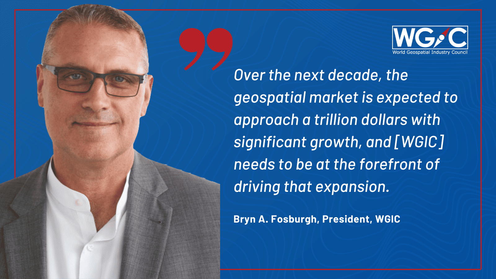
Addressing the labor shortage is a crucial aspect, as well as strengthening connectivity by collaborating with existing members and attracting new members who align with the different aspects of the industry platform. Building our membership will be a priority for me. I also want to extend our educational efforts to highlight the value of geospatial in enabling growth and success in other industries. Over the next decade, the geospatial market is expected to approach a trillion dollars with significant growth, and we, as an industry body, need to be at the forefront of driving that expansion.
I must acknowledge the great initiatives that started under Ken Mooyman’s leadership. The organization has made transformative strides in areas such as diversity, equity, and inclusion (DEI). We aim to continue those efforts through WGIC’s DEI Committee. We will build upon the existing initiatives, such as spatial digital twins and metaverse, and strive for further expansion.
WGIC: What advice would you give to geospatial companies regarding membership in WGIC?
Fosburgh: WGIC has a wealth of experience within our membership, and we can assist potential companies looking to enter specific geographies or explore different solutions. We can also help members improve their existing solutions within their respective industries and provide insights into market research. I encourage members who would like to become members or someone just interested in geospatial or WGIC to reach out and talk to us. We will be glad to sit down with you and look at how we can use our experiences to potentially transform your business. It will also be an opportunity to learn from your experience.
As an industry, we are stronger when we work together and collaborate. While we may compete in certain areas, our diversity is our strength. Building on this diversity is essential to me, personally, and to WGIC.