WGIC: Thank you, Zaffar, for your valuable time for this interview. What is driving WGIC to collaborate with the UN Statistics Division (UNSD) and the UN Committee of Experts on Global Geospatial Information Management (UN-GGIM)?
Mohamed-Ghouse: I believe the World Geospatial Industry Council (WGIC) is a natural collaborator for the UNSD and UN-GGIM. This collaboration extends beyond its connection with the UN-GGIM and encompasses the potential to partner with various other UN and related entities, including World Health Organization (WHO).
The core objective of this engagement is to create a cohesive message for the industry. It seeks to explore how the private sector can comprehensively enhance support for the overarching UN mission, whether it pertains to Sustainable Development Goals (SDGs) or the Integrated Geospatial Information Framework (IGIF) of the UN-GGIM. This initiative also delves into the intersection of geospatial data with WHO’s health-related mandates.
As such, I view WGIC as a unique non-profit organization capable of presenting a consolidated perspective from the commercial sector. This role reinforces the significance of these collective missions that aspire to effect global change. The premise behind the establishment of WGIC during the UN-GGIM session in New York five years ago revolves around how our members can actively participate in these pursuits, uniting to contribute to meaningful worldwide impacts.
WGIC: What has been the significance of the contribution made by WGIC and its members to the work of UN-GGIM, particularly the UN Integrated Geospatial Information Framework (UN-IGIF) and the Future Trends reports?
Mohamed-Ghouse: WGIC has generously offered a series of reports through its policy committee, extending these resources to both members and non-members, as well as the global community, via its websites. Notably, WGIC has dedicated its resources to contribute to the initial formation and drafting of the IGIF. This involvement was facilitated by the secretariat and supported by volunteers from WGIC, who provided valuable insights spanning all nine pathways of IGIF.
Furthermore, WGIC has leveraged the perspectives of its members to enrich these reports whenever possible. One particularly impactful instance is reflected in the Public Private Partnership (PPP) report. This report, a result of collaboration within WGIC’s Public-Private Partnerships Committee, explored diverse models for applying PPP to assist developing countries worldwide. This endeavor has proven beneficial not only to UN-GGIM but also to other communities. It underscores WGIC’s commitment to fostering partnerships between the public and private sectors, ultimately benefiting developed nations and underdeveloped regions striving to harness the advantages of private sector volunteer efforts.
WGIC: What are some of the policy considerations presented by WGIC at the UN World Geospatial Information Congress in Hyderabad in October 2022?
Mohamed-Ghouse: WGIC played an active and engaged role in the previous year’s UN Congress in Hyderabad, India. Our involvement extended beyond policy matters, encompassing various initiatives. Before the UN Congress, WGIC proactively invested in crafting a report titled “Enabling the Geospatial Ecosystem – Policy Considerations or Governments and Industry” that elucidated how IGIF could be effectively leveraged to bolster the perspective of the private sector. This comprehensive report, released just before the World Congress, took center stage as a key agenda item.
This report was a pioneering endeavor, singularly focused on IGIF and enriched with insights from the private sector. Its unveiling at the World Congress marked a significant milestone in WGIC’s contributions.
Our array of policy reports, spanning topics like data privacy, artificial intelligence (AI), spatial digital twins, and the upcoming exploration of the Metaverse by the Policy Committee, collectively provide invaluable resources. These reports extend their reach beyond UN-GGIM and its affiliated entities. They present a unique global perspective on these subjects, catering to our community and the broader geospatial domain.
Importantly, our approach to report creation transcends mere member interviews. We actively engage with governments, private sector entities, academia, NGOs, and research institutions. This collaborative approach enriches the depth of our reports. For example, our initial report on privacy delved into Europe’s GDPR, where we collaborated with experienced consultants with domain-specific knowledge. This marriage of domain context and consultant expertise ensures that our reports offer a robust knowledge base that benefits those seeking to comprehend geospatial privacy intricacies.
From a WGIC standpoint, the committees, leadership, and secretariat tirelessly endeavor to distinguish each report. Our aim is to enhance readability while infusing new, actionable insights. This dedication is driven by a commitment to serve not only as informative resources but also as practical tools that empower readers and users to implement innovative ideas in their endeavors.
WGIC: Can you tell us more about WGIC’s involvement with the UN-GGIM Private Sector Network and Academic Network and how WGIC has come to get involved with it?
Mohamed-Ghouse: WGIC’s collaborative reach extends beyond interactions within the private sector network. While participating in this thematic network, WGIC also actively engages with academic networks. A notable example is our collaborative effort with the UN-GGIM Academic Network, particularly evident in our work concerning GeoAI. Our published report on GeoAI applications and policies stands as a testament to this collaboration. Additionally, WGIC strategically leverages various platforms, including the International Telecommunications Union (ITU), to amplify the visibility of our work.
WGIC’s partnership with the UN-GGIM Academic Network not only facilitates the promotion of our reports but also serves as a conduit for gathering insights from the private sector’s contributions to AI development, especially in the realm of GeoAI. This exchange of expectations, requirements, and capacities ensures that academia is poised to foster relevant expertise.
In the spirit of collaboration, WGIC and the private sector network have jointly organized events, exemplified by last year’s reception during the 12th UN-GGIM session in New York. Furthermore, WGIC’s integral role in providing secretariat services for the UN-GGIM Private Sector Network (PSN) underscores our commitment to multifaceted collaborations.
In essence, WGIC’s collaborations transcend boundaries. We engage seamlessly with UN-GGIM thematic networks and other related UN entities, showcasing our dedication to expansive and impactful partnerships.
WGIC: Can you throw some light on WGIC’s engagement with the regional bodies of UN-GGIM, for instance, UN-GGIM Africa, UN-GGIM Asia Pacific, etc.?
Mohamed-Ghouse: The UN-GGIM’s regional networks have distinct agendas geared toward addressing specific regional needs. Unlike the global approach, each UN-GGIM regional bodies establish their own plans and working groups to tackle region-specific challenges. These working groups are focused on identifying and resolving issues unique to their respective regions, all while aligning with the principles set forth by IGIF.
Encouragingly, WGIC members are urged to collaborate closely with regional leaders whenever feasible. While WGIC serves as an observer, our purpose is to fortify collaboration like the other thematic networks. However, it’s crucial to recognize that the UN-GGIM agenda primarily rests within the purview of governments. A notable example of successful collaboration lies in WGIC’s public-private partnership report, which has garnered productive discussions.
On the topic of regional engagement, the structure is relatively flexible and loosely connected. It’s incumbent upon WGIC members to establish communication with regional committees and the private sector network, thereby enabling their active participation within these groups. The degree of involvement within regional committees is not dictated by a structured approach laid out by WGIC; rather, it’s contingent on the initiative of WGIC members already engaged within those regions.
While UN-GGIM’s regional networks operate with distinct agendas, the onus falls on individual WGIC members, particularly those participating in specific regions, to foster collaboration and contribute meaningfully within these regional contexts.
WGIC: What are some of the key challenges facing the geospatial industry today, and how is WGIC working to address them through its engagement with UN-GGIM and other UN entities?
Mohamed-Ghouse: What sets WGIC apart is the remarkable expertise of its members. Many of our members are at the forefront of cutting-edge technologies that directly benefit the geospatial community. While they have their individual platforms, WGIC serves as a unified forum where these leading experts converge to collectively convey the private sector’s insights to the global stage. This unified approach becomes our strength, harmonizing diverse technological advancements under one comprehensive platform.
For instance, during the World Engineers Congress (WEC) in Melbourne, WGIC was invited to represent the global geospatial industry voice. We seized the opportunity to provide invaluable insights into the intersection of geospatial technology and engineering, particularly within the framework of sustainable development. Our participation wasn’t isolated from UN-GGIM; we extended our collaborative influence to encompass UN-related entities and entities like the ITU and the International Engineering Council (IEC). They all regard WGIC as a vital collaborator.
In essence, WGIC’s unique power lies in its ability to unite expert members, enabling a unified and influential voice that resonates across diverse technological arenas.
WGIC: How does the private geospatial sector, represented by WGIC, see the future of the geospatial ecosystem, and what role does it aim to play in shaping it along with UN entities?
Mohamed-Ghouse: From a human-centered viewpoint, the question holds considerable relevance. Currently, with the establishment of IGIF pathways, countries are entrusted with the task of formulating action plans. The challenge lies in how the private sector can effectively partner as observers and reinforce the implementation of IGIF. This challenge varies across regions. In some areas, geospatial maturity is robust, while in others, it’s either underdeveloped or in the development process. These varying circumstances present opportunities for collaboration between the private sector network and WGIC, uniting to bolster efforts to fortify UN IGIF pathways. The potential for value addition is significant, particularly in less developed and developing nations. Such collaboration can play a pivotal role in successfully implementing the ambitious IGIF.
Parallel to this, the UN has embarked on other impactful initiatives. The SDG alliance stands out as a notable example, and a number of WGIC members are actively contributing to this endeavor. Additionally, WGIC partners have been instrumental in geospatial enablement for the UN’s work in SDGs, showcasing their dedication to contributing significantly.
In terms of future trends within the geospatial ecosystem, the demand for accurate data is intensifying for informed decision-making. The trajectory suggests increased open data availability, which can greatly influence decision-making processes. However, it’s imperative to ensure the prevalence of high-quality data over data that’s currently accessible through open systems. This is where the concept of business models gains importance, facilitating robust public-private partnerships that can bridge the digital divide. This alignment necessitates well-defined policies for the private sector. While goodwill exists for data sharing, technology sharing, and capacity building, there’s a need for policies, platforms, and procurement processes to be more defined.
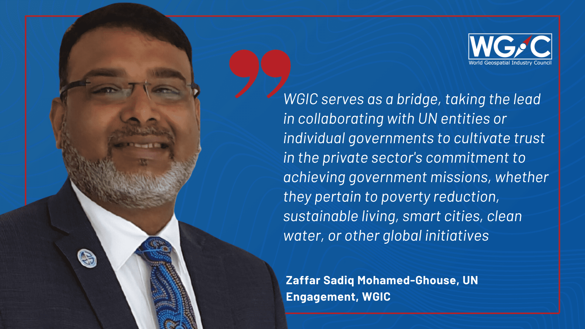
This is where WGIC can make a substantial difference. WGIC can serve as a bridge, taking the lead in collaborating with UN entities or respective governments to cultivate trust in the private sector’s commitment to achieving governmental missions, whether they pertain to poverty reduction, sustainable living, smart cities, clean water, or other global initiatives. Currently, there exists ambiguity regarding the private sector’s role, especially concerning collaboration and public-private partnerships. By reducing this uncertainty, WGIC can pave the way for enhanced private sector involvement in these collective efforts and global undertakings.
WGIC: How can other stakeholders in the geospatial industry get involved in WGIC’s UN engagement efforts and contribute to shaping the future of the geospatial ecosystem?
Mohamed-Ghouse: The participation of various multilateral agencies in collaboration with the UN has been evident in various capacities. With the advent of WGIC, a new dimension of collaboration has emerged, particularly in the realm of geospatial endeavors. WGIC serves as a platform that offers these agencies an additional avenue for cooperation.
Drawing a parallel, we can observe the World Federation of Engineers (WFE), a counterpart to WGIC for engineers worldwide, engaging with us to strengthen collaboration and exchange perspectives.
Examples like the ITU and Universal Postal Union (UPU) underscore the benefits derived from WGIC’s presence. When these organizations seek to organize joint events or explore collaborations, WGIC’s existence provides a valuable resource. These collaborations can encompass commercial efforts or support for various UN missions.
It’s imperative for WGIC to adopt a proactive approach to outreach rather than waiting for these agencies to initiate contact. We should actively engage and reach out to them whenever possible.
Lastly, I want to commend the exceptional efforts of the secretariat and leadership. Their proactive outreach initiatives not only establish connections but also nurture these relationships. By effectively leveraging our reports and products in relevant events, we contribute to promoting the advancement of spatial enablement.