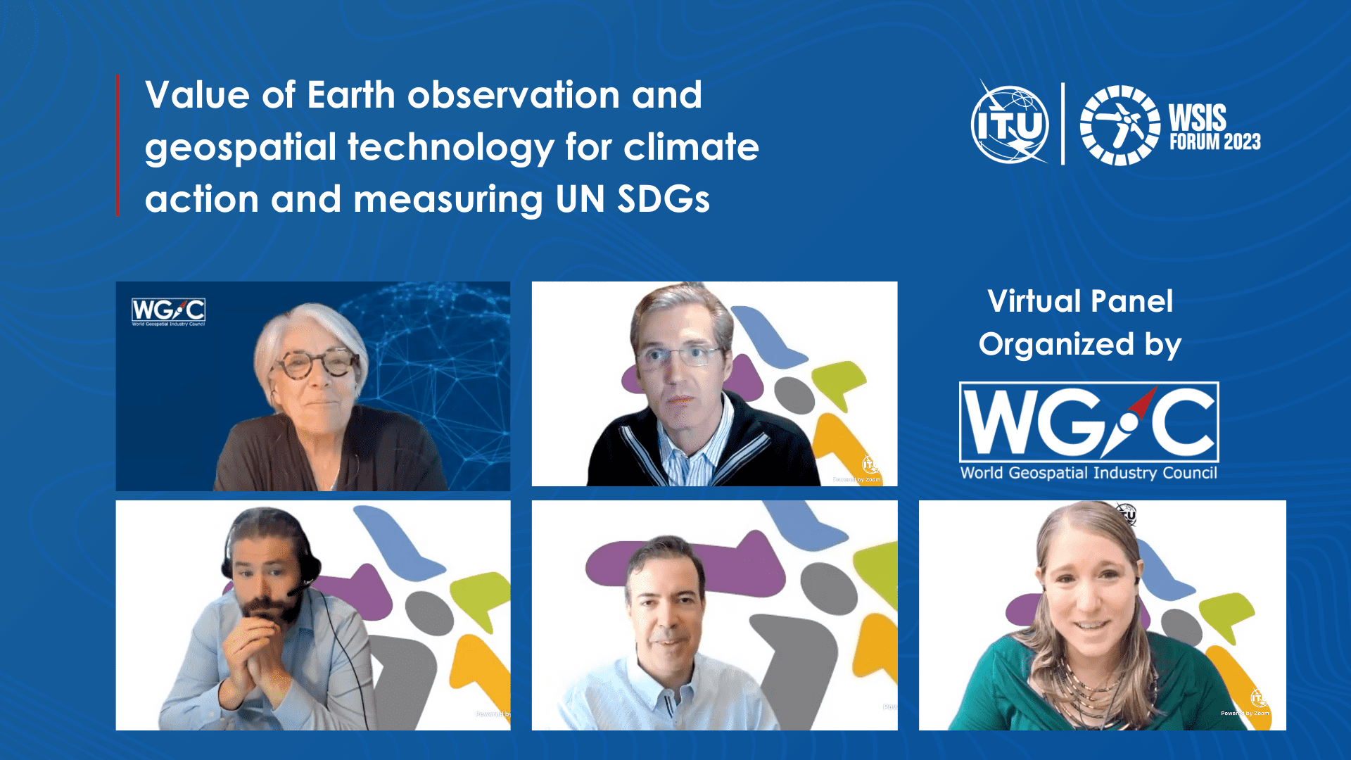
On April 18, the World Geospatial Industry Council (WGIC) organized a virtual session as part of the International Telecommunication Union’s (ITU) World Summit on the Information Society (WSIS) Forum. During the panel, WGIC, along with its members (Bentley Systems, Esri, Planet) and the United Nations Committee of Experts on Global Geospatial Information Management (UN-GGIM) Secretariat, shared their insights on the importance of the data obtained from earth observation and geospatial technology in addressing climate change and achieving the United Nations Sustainable Development Goals (UN SDGs).
The session was moderated by Barbara Ryan, Executive Director, WGIC. Rodrigo Fernandes, Director, ES(D)G, Bentley Systems, Steve Kopp, Product Engineer and Science Community Liaison, Esri, Melania Guerra, Ph.D., Director of Science Strategy, Planet, and Mark Iliffe, Geographer at UN-GGIM, joined the panel and enriched the discussions.
Owing to the broad range of applications in society, spanning social, economic, and ecological domains, earth observation (EO) and geospatial technologies are indispensable. These technologies can help policymakers, international organizations, and for-profit and not-for-profit organizations to tackle critical issues such as climate change adaptation, mitigation, and measuring progress toward achieving the SDGs. The role of these technologies has become increasingly critical in recent years.
The panel emphasized the need for public-private partnerships (PPPs) to optimize efforts in solving these challenges, including policies that promote stronger PPPs or the integration of commercial sector capabilities. The panelists presented examples of how their organizations are contributing to SDG implementation, such as mapping data on vulnerable populations and infrastructure to help governments plan for disaster management and climate adaptation, monitoring forest health, and providing insights into the operation and maintenance of infrastructure assets using digital twin technology.
Private Sector Capabilities in Achieving UN SDGs
During the session, Ryan highlighted that while major platforms such as the UN-GGIM, the UN SDGs, and the Conference of the Parties (COP) are primarily focused on government-led initiatives, there is untapped potential in the commercial sector for leveraging their advanced data collection and analysis capabilities to address the major societal challenges outlined in the UN SDGs. She explained that if we want to optimize our efforts in solving these challenges, we must bring all resources to bear, including public sector assets and commercial sector capabilities. For this reason, governments must lay down policies that promote stronger PPPs or policies that allow the integration of commercial sector capabilities.

On this note, Melania Guerra, Director of Science Strategy at Planet, presented the company’s vision to use space technology to enhance life on Earth. This involves capturing daily images of the planet’s landmass and making this data accessible and actionable. Planet operates three constellations of satellites, including the Dove constellation equipped with PlanetScope sensors, which scan the Earth once a day, and the tasking satellite SkySat, which provides higher-resolution images. Planet’s archive dates back to 2000, offering valuable historical data for change detection, monitoring etc. Guerra also shared two instances where Planet’s data has been utilized effectively.
In the first example, a study conducted by the University of Stockholm utilized Planet’s data to track economic activity and poverty alleviation programs in Kenya and Ethiopia. The study found that remote sensing of market activity can be used to assess changes in economic activity and evaluate poverty alleviation policies. In the second example, the Forest Management Institute used Planet’s technology to monitor forest health in the Czech Republic. Daily imaging and high spatial resolution enabled the project to assess the damage caused by a bark beetle outbreak on a near individual tree level.

In his turn, Steve Kopp, Product Engineer and Science Community Liaison at Esri, explained that Esri has been involved in supporting the environment since its early days. With the belief that bringing more data together could lead to more sustainable use of the limited resources, Esri assists with technology for data compilation, data analysis for addressing specific SDG indicators, spatial data publishing, report generation, and portal technology. Esri’s efforts, as Kopp explains, now focus primarily on the SDG data alliance with strong partnerships, helping individual countries with their SDG data hubs through strategic planning and workshops, and engaging with government stakeholders.
In addition, Kopp talked about two projects that Esri is working on. The first one is Digital Earth Africa, which provides satellite imagery and data through web services to address sustainable development challenges and support decision-making across Africa. The data is stored in AWS Cape Town as an image cube that is organized and optimized for leveraging time-series information efficiently. The second project is a climate assessment tool developed in partnership with the US Government that allows users to explore climate-related data for the current and projected future climate situations.

The role of the UN, the importance of SDGs, the local and global as well as private, public, and government collaboration were the central ideas presented by Mark Iliffe, Geographer at UN-GGIM. He emphasized that the SDGs are a high-level framework offering tailored solutions for each country to address humanity’s significant challenges.
Iliffe highlighted examples of how the geospatial industry is contributing to the SDGs. For instance, mapping data on vulnerable populations and infrastructure can help governments to plan for disaster management and climate adaptation. Additionally, geospatial data on land use and land cover changes can aid in tracking progress toward sustainable land use and protecting biodiversity.

Finally, Rodrigo Fernandes, Director of ES(D)G at Bentley Systems, talked about the company’s commitment to providing sustainable, resilient, and reliable infrastructure solutions and emphasized the significant role geospatial data plays in accomplishing this objective. Fernandes further elaborated on how Bentley Systems’ digital twin technology provides valuable insights into infrastructure asset operation and maintenance. Eventually, this can enhance decision-making and mitigate the environmental impact of infrastructure.
In addition, Fernandes emphasized the significance of PPPs in meeting the SDG targets, proposing that governments establish policies that incentivize sustainable infrastructure development and that the private sector work alongside governments to achieve mutually shared sustainability objectives
Accessibility of Geospatial Data and its Potential
Geospatial technology was identified as a crucial tool in addressing the challenges that both rural and urban geographies face. The speakers emphasized the importance of making geospatial data broadly and openly available, particularly as taxpayers often fund its collection. By doing so, individuals and organizations can make informed decisions that benefit society as a whole.
Geospatial technology gives us the opportunity to refocus our attention on the places and people that may have been overlooked, thus enabling us to see the full picture. For example, satellite data allows for the analysis of trends in specific areas and makes climate projections, providing valuable insights into temperature and precipitation patterns in the coming years.
During the session, there was also a discussion about data dissemination tools, platforms, and mechanisms. Kopp discussed providing access to millions of data items and applications through web services in OGC standard formats. For example, accessing Esri data is as simple as searching for the Living Atlas of the World on Google. Guerra mentioned that Planet creates public digital goods accessible to anyone who aligns with the product’s purpose or mission. A recent example is the Global Renewable Watch (GWR), a world map showing the location of wind and solar energy production infrastructure. Fernandes showcased Bentley’s iTwin platform, a digital twin platform designed to create SaaS solutions for managing infrastructure assets’ design, construction, and operation. This simplifies complex problems and speeds up application development while preserving intellectual property.
As our world faces climate change’s consequences, we must leverage all available tools to mitigate the impact. Geospatial data and technology form the critical and reliable base for informed decisions benefiting society and the environment.


