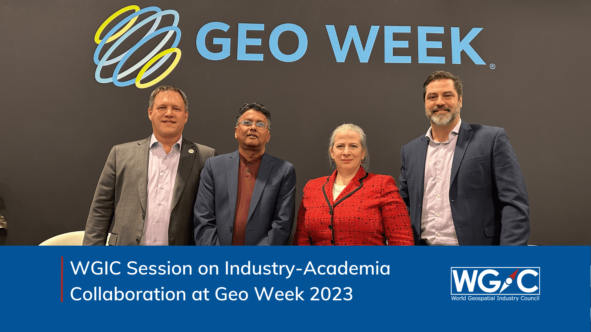
The potential of geospatial data to influence our lives is immense. Map making, surveying, and data analysis are crucial skills that future professionals must learn. During the “Geospatial Education and Market Needs” session organized at Geo Week 2023 in Denver, participants discussed strategies for growing the workforce in an impactful and valuable way. The session brought WGIC members and professionals from academia together on to the same stage to discuss accelerating need for qualified geospatial professionals, the role that academia can play, and the opportunities to bring industry and academia on the same page in terms of closer collaboration. For example, academic research has been the starting point for numerous geospatial companies, which highlights the significance of recognizing the valuable contributions that academia can make to the field. The session was moderated by Aaron Addison, Senior Program Adviser at the WGIC working with Industry/Academia Committee.

Dr. Amy Rock from the University Consortium for Geographic Information Science started the conversation by stating that it takes significant time for academia to educate students who will be able to work with challenging real-world problems. Oftentimes, it is not until the later years that students can conduct experiments. Even more, it isn’t until graduate school that they can dig in for innovative stuff. “A lot of that has to do with program structure but also institutional resources,” cited Rock. It can be difficult to tackle large-scale issues when operating as a public institution with limited funding and without adequate server space to store petabytes of data.
Kumar Navulur from Maxar Technologies presented the recruitment approaches used by the company. Maxar heavily relies on internships, university graduates, and the network of current employees to find talent. These efforts are on such a big scale that Navulur said, “We actually recruit the entire Maxar to go find talent.” Annually, Maxar has around 100 interns, out of which 70% end up with a job offer. Navulur described Maxar’s internship programs as “more like dating.” “We are trying to understand how good you are in terms of our company’s culture and what your general understanding of technology like GIS is,” noted Navulur.
A mismatch between academic curriculum design and industry internships can lead to skill gaps, reduced employability, frustration and disillusionment among students, and a wastage of time and resources. Rock suggested that it is essential to collaborate with the industry to determine the timing of intern recruitment to ensure students have sufficient time to refine their skills before graduation. This will ultimately bridge the gap between industry and academia.
Staying current with industry trends is crucial for academia, as it is often criticized for living in its own ivory tower. While this perception may not be entirely accurate, academia is actually in critical need of feedback from the industry. According to Rock, a newsfeed, for example, that provides the latest developments across the industry in a digestible format would be a valuable feedback loop. Guest speakers and collaborations with nearby companies that provide physical space, computing power, or resources for data storage are additional ways for academia to stay connected with the industry.
It’s important to note that geospatial science is not just about data efficiency but also about understanding and considering the human aspect in every project. The common thread should always be that it’s all about humans. This was the approach presented by Michael Frachetti from the Department of Anthropology at Washington University in Saint Louis. “How much of your computer science background or engineering background allows you to think about data from the framework of humans and not only yourself or your own neighborhood but, let’s say, a village in Uzbekistan? How do these things change in terms of the way you articulate data,” noted Frachetti.
The key is in developing geospatial thinking. “I feel like training the mechanics of geospatial analysis is one thing, but generating geospatial thinking is a much more challenging task,” stated Frachetti. The proposed idea is to provide laboratory settings and attract intelligent young individuals who can “break stuff” without the penalty of not making money. This will enable them to join companies and bring about innovation quickly and efficiently. “From my perspective, the challenge isn’t about just training [students] to do the things that we already know and can do but rather putting them in the context in which they’ve got the opportunity to play with the most recent scale data or escalate technologies,” noted Frachetti.
The event produced several significant outcomes. The panelists agreed that the discussion on exploring opportunities should continue beyond the event. WGIC committed to developing a repository of its member offerings, including hardware, software, sensors, and data that would be available to academia. It also pledged to collect the best practices on geospatial industry internships and share the same with academia. These outcomes are expected to contribute meaningfully to the growth and development of the geospatial industry, particularly around collaboration and knowledge sharing between academia and industry.


