Consilience (kən-ˈsil-yən(t)s) (noun): The linking together of principles from different disciplines especially when forming a comprehensive theory.
The principle that evidence from independent, unrelated sources can converge on strong conclusions.
The Power of Consilience
True thought leadership takes courage. Uncommon results require uncommon insights and high-level execution. Uncommon insights come from combining data in non-conventional ways.
Consilience leads to powerful insights through combining seemingly unrelated ideas.
Have you ever found yourself wondering (out loud or in your head):
“I just know that we have data A, B, and C, and if we combine that in X way, we can get Y result and save/make Z dollars”
One way Retailers can leverage consilience is by looking at internal operational data through a geospatial lens. Sometimes it also helps to add external data to the mix.
AI breakthroughs in recent years have further multiplied the possibilities.
It takes an internal champion with an innovator streak who has a vision of how they can do things better. It takes someone to “squint” at an as-of-yet unrealized future, knowing what’s possible.
When we scope projects with our clients, we aim for at least 10x ROI. To achieve that, there is usually an underlying uncommon insight at the core of the project.
How we get to 10x ROI depends on the circumstances of each individual client, but we generally recommend only pursuing projects with that minimum hurdle.
Retail Examples
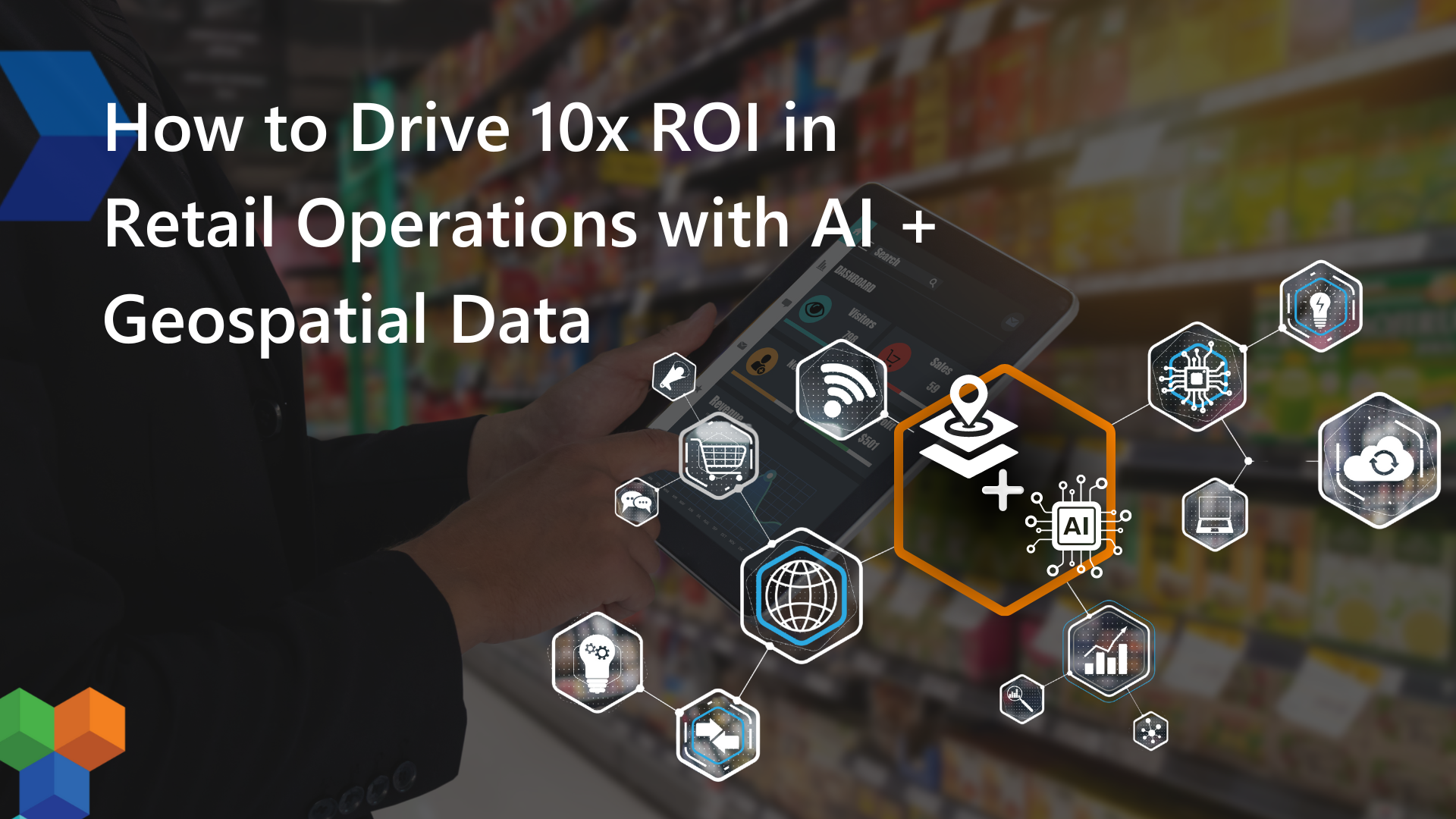
This blog post is a roadmap for how to think about AI + Geospatial in Retail. Let’s start with specific examples of using operational data, geospatial Data, and AI in areas such as Real Estate, Supply Chain, Loss Prevention, Facilities Maintenance, Marketing, Merchandising, In-Store Experience, and Inventory Management:
Real Estate Planning and Buildout Management
Real Estate is a natural place to use geospatial technology to get an operational edge.
What if you could predict the next area of growth, choose the perfect location for expansion, and have a projection for sales using your own sales and demographic data as well as census data?
What if you could use aerial or satellite imagery to remotely monitor your ongoing development projects?
Supply Chain Management
The distributed nature of Supply Chain operations lends itself perfectly to the use of geospatial technology.
The proliferation of RFID and tracking has brought forth the importance of understanding where assets and inventory are located in space and time. Geospatial analytics and AI can lead to better operational decisions in these critical areas.
Retailers can also optimize their supply chain by identifying the most efficient routes for distribution, reducing transportation costs, and improving delivery times. Last-mile efforts are another good use of mapping, wayfinding, and routing technologies.
Loss prevention analytics can also benefit from a geospatial lens. This can be through supply chain analysis to identify loss patterns, but it can also mean crime and store loss analytics at the store level.
Which leads us to…
Security and Loss Prevention
Geospatial data can play a crucial role in enhancing security and preventing loss.
By analyzing the geographic patterns of theft or loss incidents, retailers can identify high-risk areas within their stores or in certain geographic locations.
For example, what if you could use computer vision to identify assets left out in your parking lot overnight?
Facilities Maintenance
Facilities management is a great place to use geospatial technology combined with your internal data.
Assets are constantly breaking down. Could you use AI and the location/history of your assets to determine whether something should be repaired or replaced?
Marketing & Merchandising
Gain a deeper understanding of customer demographics and behavior patterns by integrating customer data with geospatial analytics.
Geospatial data allows retailers to map where their customers are coming from and identify demographic trends based on geographic regions.
This insight can help you tailor your marketing strategies, store layouts, and product selections to better meet the needs and preferences of your target audiences.
In-Store Experience with Geofencing
Geofencing technology enables enhanced in-store experiences for customers.
By setting up virtual boundaries around their store locations, retailers can send personalized notifications, promotions, and recommendations to customers’ smartphones as they enter or pass by the store.
This targeted approach not only improves customer engagement but also encourages foot traffic and impulse purchases.
Further gains can be achieved by combining these insights with ecommerce data and credit card data.
Predictive Analytics for Inventory Management
Integrating geospatial data with AI-driven predictive analytics allows retailers to improve their inventory management.
By analyzing historical sales data, weather patterns, local events, and demographic shifts, you can predict future demand for products with remarkable accuracy.
Optimize your inventory levels, reduce both overstock and stockouts, and ensure that popular items are always available when and where customers want them.
The Role of AI
It’s worth noting that while AI technology has risen in popularity in the last few years, AI is a tool that should solve a user’s pain.
The first question should always be: what specific pain are we addressing, and what is the ROI or financial benefit of solving that problem? AI can then be considered as a means to that end.
AI should not be the center of the solution, only a method that helps achieve an outcome.
That said, AI is a powerful tool that allows us to combine data in new ways at scale. We are always asking ourselves and our clients: what is now possible because of AI that was not possible two years ago (or last quarter)?
Examples of ways we use Open Source AI in projects include:
Data Generation, Augmentation & Predictive Analytics
- Generating Synthetic Geospatial Data. This helps us answer the question “What would it look like if…” to fill in data gaps and/or to predict future outcomes.
- Combining Datasets in New Ways. Internal data such as operational data or sales data can be combined with external sources such as weather data or census data to glean uncommon insights. We can also use AI to combine real-world observations (such as satellite images) with underlying data about a physical place (e.g. parcel data or other cadastral data).
- Weather Forecasting, Traffic Management, Disaster Prediction/Management. Using external data as a way to manage and predict the impact of discrete events.
Natural Language Understanding (NLU)
- Interacting with Maps and Data through Natural Language Interactions. Asking data questions in natural language can lead to unconventional insights not generally available with more structured queries. This includes asking questions and receiving location-based answers. It’s worth noting that in order to make data usable for these kinds of interactions and to minimize hallucinations, great diligence (and experience) are required to clean and prepare the data.
Enhanced Visualizations
- Creating Dynamic, Data-Rich, User-Friendly Visualizations. AI multiplies the possibilities for interactive maps and immersive experiences. It’s worth noting that the more data you have, the more important usability becomes. This is where our discipline of user-centric design comes into play.
Data Processing Examples
- Feature Extraction. Retailers can analyze satellite or drone imagery of parking lots and surrounding areas to understand foot traffic patterns and vehicle flow. This information can help with staffing decisions, store layout optimization, and targeted marketing campaigns.
- Computer Vision and Image Classification. AI can be used to analyze photographs from store shelves to classify and monitor product presence, arrangement, and stock levels. This information can be used to drive inventory, promotions, and/or pricing decisions.
- Efficient geocoding. Retailers can utilize AI to analyze historical and projected data. This can help optimize delivery routes to ensure timely and cost-effective deliveries.
Innovative Geospatial Thinkers Wanted
At Makepath, we work with our clients (including Fortune 500 retailers) to discover, build, and scale decision-support systems that combine data in impactful ways.
We are just one of the WGIC members who are living and breathing the motto “Geospatial in Everything, Geospatial for Everyone.”
If you have any ideas of how to use geospatial data in innovative ways, leave a comment below.
Author bio:
Pablo Fuentes is Co-Founder and Principal at Makepath, a company focusing on helping clients discover, build, and scale products at the intersection of AI, Geospatial Data, and Visualizations.