WGIC: We at WGIC are delighted that our collaboration with International Telecommunication Union’s (ITU) AI for Good is making great progress. For the benefit of the geospatial community, can you tell us about ITU’s role in furthering Information and Communication Technologies (ICTs)?
ITU: ITU is the United Nations (UN) specialized agency for ICTs, with a global membership of 193 member states, over 800 private members, and more than 150 universities. No other organization in the world has ITU’s unique public-private partnership model. We coordinate the global allocation of radiofrequency spectrum and satellite orbital positions, develop international standards providing technical foundations for communication networks, and support developing countries worldwide in setting up their information and communication infrastructure.
WGIC: That is very impressive. How is ITU popularising the latest advancements in technology?
ITU: Much of today’s cutting-edge research includes artificial intelligence (AI), which is reflected in the numerous work items of ITU referring to machine learning (ML). We believe that everyone should participate in the conversation to determine how AI will factor into our future. For this reason, ITU offers several platforms on AI which are open to anyone – no membership is required!
AI for Good, organized by ITU in partnership with 40 UN organizations, is the leading UN platform where conversations take place on how AI can bring momentum to achieving Sustainable Development Goals (SDGs). AI for Good is an all-year, always-online platform with almost daily programming. We feature startups and Nobel laureates and run over 150 technical webinars a year. AI for Good is supported by industry sponsors and Switzerland. Experts’ talks cover such topics as ML in 5G, AI and climate science, earth and sustainability science, AI for biodiversity, AI and health, trustworthy AI, geospatial AI, AI and robotics, and AI and manufacturing.
In addition, ITU hosts open platform focus groups for pre-standards of technical work. Among these groups is the focus group on AI for health, a joint partnership with the World Health Organization (WHO), and a particularly exciting area of work. We are also running a focus group on AI for Natural Disaster Management in partnership with the World Meteorological Organization (WMO) and the UN Environment Programme. This group examines the potential of AI to monitor and detect natural disasters. Lastly, the group on AI and the Internet of Things (IoT) for Digital Agriculture, together with the UN Food and Agriculture Organization (FAO), explores the potential of AI and IoT in supporting agricultural production processes.
ITU also runs machine learning competitions. The AI/ML in 5G Challenge is entering its fourth year in 2023. In 2022 we offered, for the first time, problem statements in the area of GeoAI and tinyML. In 2023, we will be back with our AI for Good Global Summit in Geneva on 6 – 7 July 2023, preceded by numerous machine learning workshops on 5 July.
While AI has extraordinary potential, it also faces considerable challenges, such as bias, lack of data, security breaches, the explainability of AI models, and equitable access to know-how and computing power. These challenges require the collaboration and cooperation of many stakeholders, and ITU offers a unique platform to bring them together.
WGIC: Why did ITU bring in the geospatial component, and what, according to ITU, is the value of geospatial in SDGs and climate change?
ITU: Geospatial and location technologies are at the focal point of technology transformation. ITU recognizes the power of spatial visualization and has partnerships with leading geospatial industry associations such as yours.
In recent years, significant new developments have expanded the use of geographic data that promises to disrupt entire sectors (e.g., energy, transportation, healthcare, agriculture, insurance, and institutions in the public/private sector).
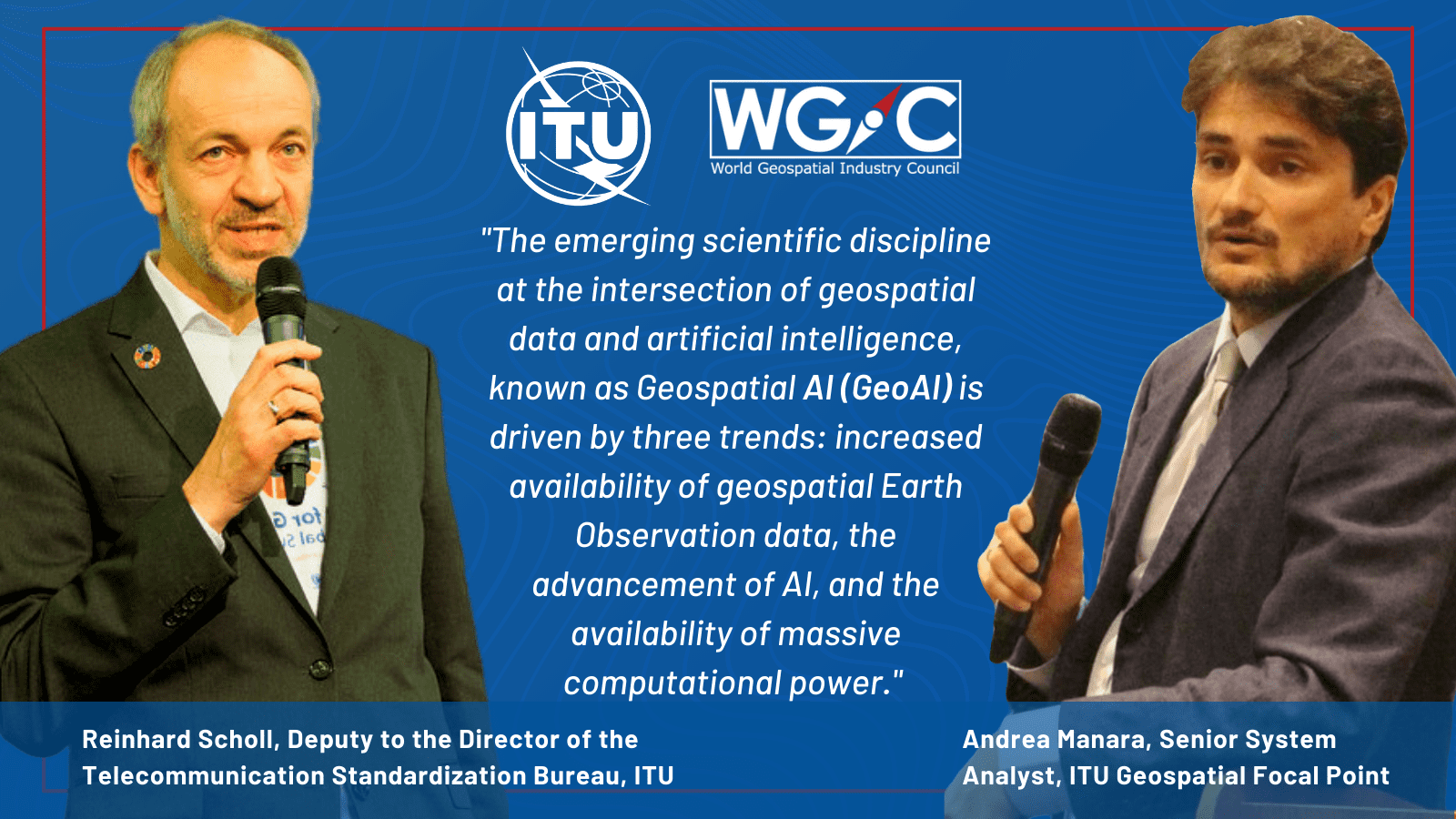
The emerging scientific discipline at the intersection of geospatial data and artificial intelligence, known as Geospatial AI (GeoAI), is driven by three trends: increased availability of geospatial Earth observation (EO) data, advances in AI (particularly machine and deep learning), and the availability of massive computational power.
AI for Good initiated the GeoAI series aiming to provide a forum for leading voices in the fields of geospatial and AI to describe the latest research and real applications of GeoAI to meet SDGs. In parallel, to build practical knowledge of GeoAI, ITU started organizing the ITU GeoAI Challenge in 2022, a competition aimed at providing solutions for collaboratively addressing real-world geospatial problems by applying AI and ML to address UN SDGs-related problems using real-world data.
WGIC: When and how did the collaboration with WGIC start?
ITU: Collaboration began in October 2018 when WGIC contacted ITU to highlight geospatial data and services’ significance for ICT. The two organizations subsequently signed a Letter of Intent (LoI) to accelerate the implementation of the 2030 Agenda for Sustainable Development, with a focus on ICTs and geospatial technologies. The agreement was signed in April 2019 in Amsterdam, where Malcolm Johnson, former ITU Deputy Secretary General, delivered a keynote speech in the plenary session ‘5G+Geospatial – Shaping Digital Cities.’
WGIC: How did the cooperation bring value to your community and AI for Good cohort?
ITU: The cooperation brought value to the community and AI for Good cohort by discussing key topics such as GeoAI applications and policies, ethics, and the future of GeoAI for Good. Value use cases were presented in the thematic sessions, including climate actions and GeoAI, spatial digital twins and AI, GeoAI and the digital transformation of agriculture, water, and food systems, and ML supporting ecology.
The first episode of AI for Good, on February 1, 2022, featured a discussion with experts from WGIC, the Open Geospatial Consortium (OGC), and the United Nations Committee of Experts on Global Geospatial Information Management (UN GGIM). The tech talk covered the differences between geospatial and typical AI problems in computer vision and language processing. The panelists explained why most AI algorithms do not work well with geospatial data due to their unique features like autocorrelation, geometric nature, and multiple modalities. The outcome was that GeoAI could bring significant benefits to drive the next generation of service innovation in applications like autonomous transportation, sustainable smart cities, soil sustainability, and others.
WGIC: How does ITU envision collaborating with WGIC in the future?
ITU: ITU recognizes the significance of geospatial data and sees WGIC as a valuable partner. ITU and WGIC will continue collaborating to promote the use of geospatial technology and ICT in various sectors for sustainable development. Overall, ITU is committed to building strong partnerships with organizations such as WGIC to advance the use of ICTs and drive positive social and economic impact.


