
- WGIC partner(s): Bad Elf
- City journey step(s): Assess Impacts and Risks; Set Goals and Targets; Implement
- Geospatial data type(s): Geospatial information systems; Risks, vulnerabilities and resource management; Digital twins & modeling
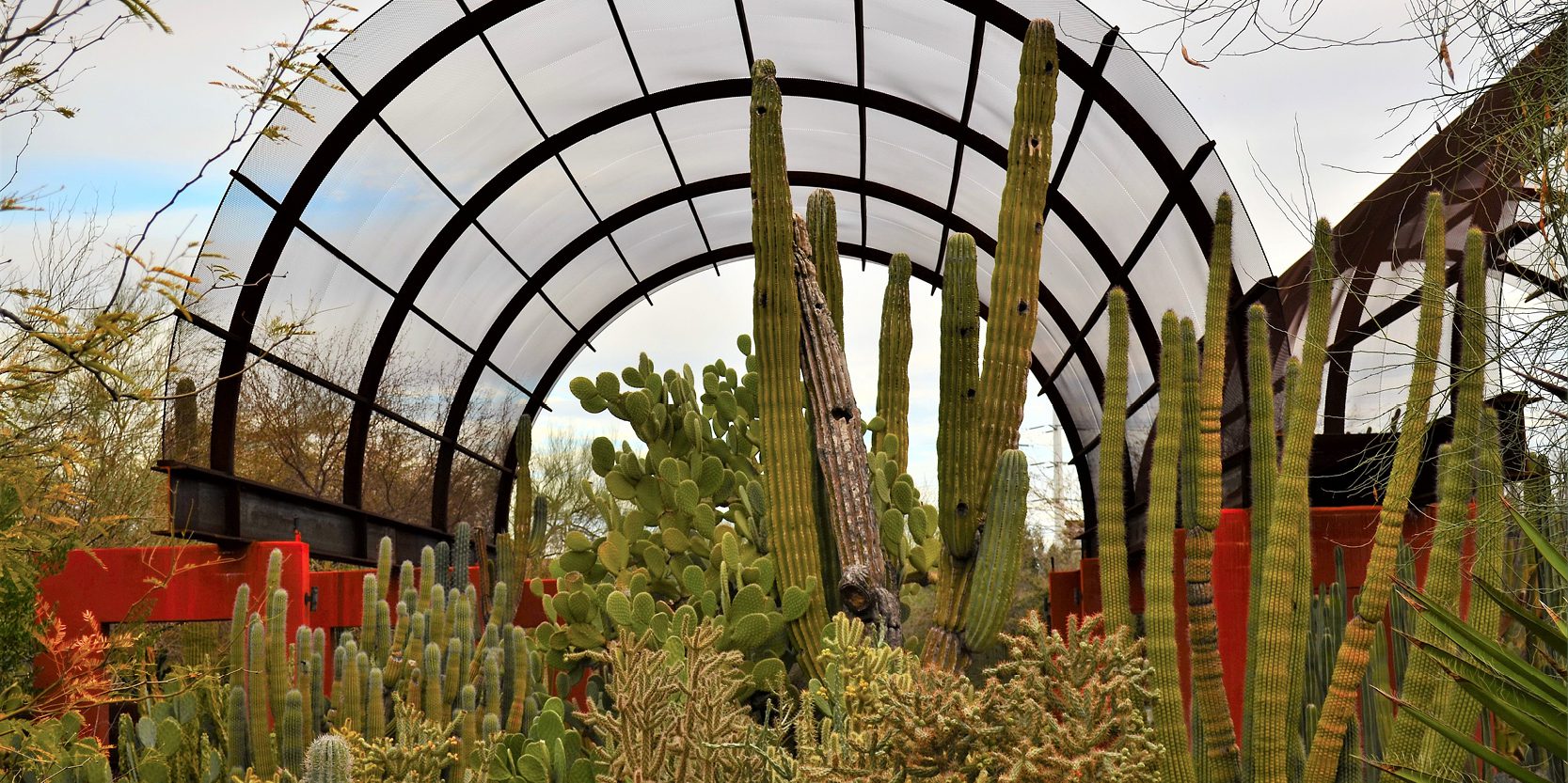
Desert Botanical Garden is a 140-acre nonprofit botanical garden in Arizona known for its botanical research and conservation programs. Previously, the garden used outdated paper-based mapping workflows to manage its facilities and 50,000 desert specimens from around the world. Today, DBG staff are creating a more accurate representation of the garden using digital maps powered by GIS technology to help manage and conserve the garden. The staff uses centimeter-precision Global Navigation Satellite System (GNSS) receiver devices from Bad Elf and mobile Esri GIS apps to create a digital twin and geodatabase of the garden’s specimens. GNSS receivers empower GIS and survey professionals to collect high-accuracy field data using any phone, tablet, or laptop. By having accurate plant data up to one centimeter, DBG staff can easily locate plants, run reports on their health, assign tasks related to the plants, and add pins to note damages or layers for future tasks. This data-driven digital twin is essential for managing the health of the collection.