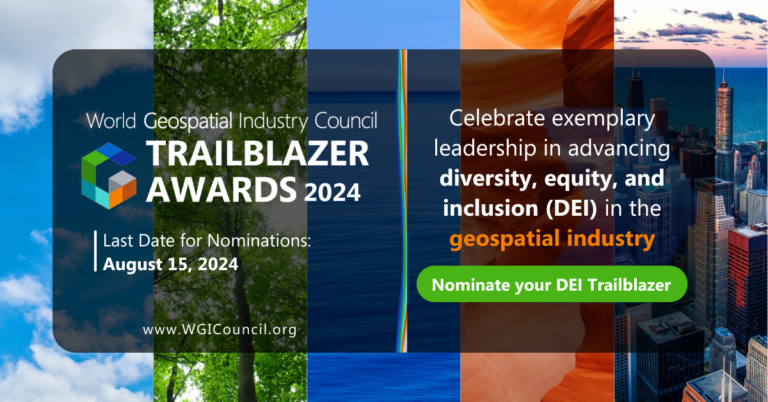
WGIC DEI Trailblazers 2024 – Albert Momo, DeepSpatial and Women+ in Geospatial Bag Awards WGIC Secretariat September 3, 2024 Read More »
How to Drive 10x ROI in Retail Operations with AI + Geospatial Data Pablo Fuentes July 10, 2024 Read More »
DEI in Geospatial Startups: Fueling Innovation and Inclusive Growth WGIC Secretariat June 17, 2024 Read More »
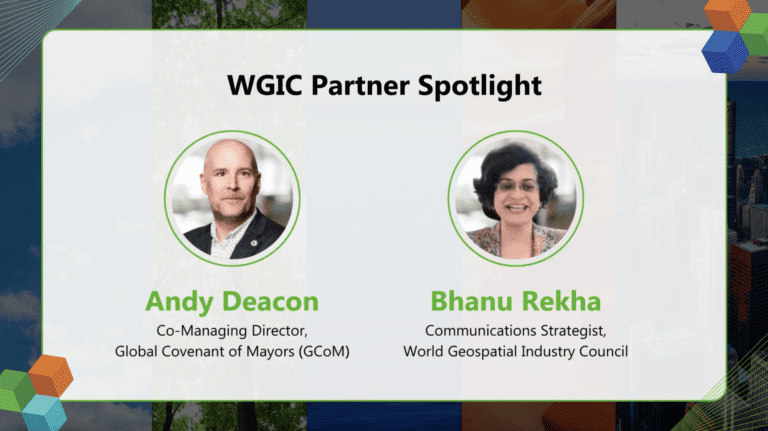
Cities Need More Data to Support Their Climate Action Plans: Andy Deacon, GCoM WGIC Secretariat May 1, 2024 Read More »
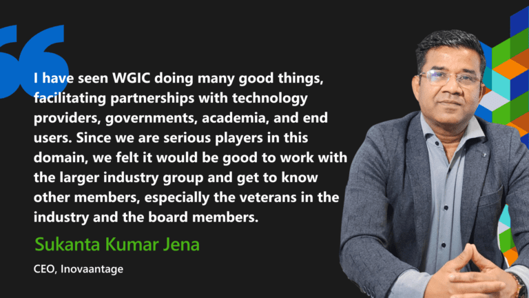
Today, the World is not About Competition but Collaboration: Dr Sukanta Kumar Jena WGIC Secretariat April 23, 2024 Read More »
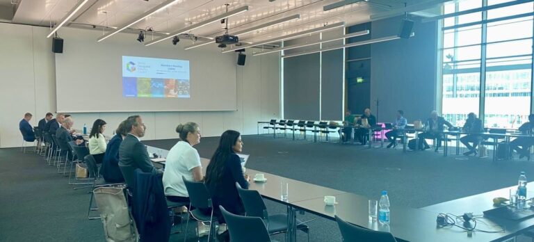
Driving Geospatial Innovation and Development Through Leadership Diversity WGIC Secretariat April 16, 2024 Read More »
Organizational Diversity and the Importance of Measuring It WGIC Secretariat April 12, 2024 Read More »
Towards a Mature Geospatial PPP – Business and Financial Considerations Bhanu Rekha April 5, 2024 Read More »