Panelists highlight the importance of making geospatial data broadly and openly available, particularly as taxpayers often fund its collection

Effective evidence-based policy-making that leverages geospatial data is an urgent need for governments worldwide to facilitate sustainable development. Moreover, governments are increasingly realizing that multilateral agencies, the private sector, and non-profits are essential stakeholders in delivering effective governance that lives up to the expectations of 21st-century citizens.
Understanding this imperative, the United Nations Committee of Experts on Global Geospatial Information Management (UN-GGIM), in collaboration with the World Bank, has developed the Integrated Geospatial Information Framework (IGIF). The framework provides strategic guidance to develop and implement country-specific action plans for managing geospatial information in an integrated manner. IGIF offers a holistic model, especially for national Spatial Data Infrastructures (SDIs), to transition toward geospatial knowledge infrastructure (GKI) or delivering machine-readable knowledge on demand.
Recognizing the demand-driven push and the need for diversification in governance and regulation, the World Geospatial Industry Council (WGIC) has commissioned studies to identify the proactive role of the private sector in agile policy development.

In the last four years, WGIC has conducted policy research and published reports on geospatial data economy, data privacy issues, resilient infrastructure, public-private partnerships, geospatial AI (GeoAI), digital twins, and greenhouse gas monitoring from space in an attempt to facilitate the exchange of knowledge within and outside the geospatial industry.
These reports covered a policy scan of all applicable legislation and policies around the globe, along with recommendations for industry and governments on how to move forward, complementing IGIF’s efforts piece-wise.
Aligning WGIC Research With IGIF Pathways
To demonstrate the complementarities between the two bodies of work and accelerate the geospatial ecosystem’s growth, WGIC recently brought out a policy paper titled “Enabling the Geospatial Ecosystem – Policy Considerations for Governments and Industry.”
Though technology innovation and its adoption have been happening somewhat independently through markets, this policy research report has focused on connecting and informing the private sector and policy initiatives.
Further, the mapping (Figure 1) aims to facilitate IGIF with a reliable body of supporting research based on holistic and inclusive stakeholder consultations. This also provides insights that help countries make evidence-based decisions for implementing integrated geospatial solutions. The IGIF pathways that directly benefit from WGIC’s existing body of work and future studies are Policy and Legal, Innovation, and Financial Pathways.
Policy and Legal Pathway
Governments increase the supply of knowledge-based products and services into the economy through policies and regulations. IGIF recognizes this as an essential ingredient for effective GKI implementation. However, keeping up with the accelerated pace of technological advancement, especially in the fourth industrial revolution paradigm, is proving challenging for governments. It is critical to identify the gaps between existing regulatory approaches and the rules needed to regulate new technologies and the business models enabled by them. Meanwhile, governments must implement interoperable, inclusive, and agile methods to govern the latest technologies without stifling innovation. Figure 2 highlights the elements of IGIF policy and legal pathway.

This is where WGIC’s policy research, which prioritizes these objectives, can play a vital role. For instance, WGIC’s reports on data privacy and GeoAI offer analyses of relevant laws, legislations, and global policies to help the private sector comply with them. These reports also clarify and present the policy trends to help the private sector prepare for expected regulatory requirements without any loss to future revenues for lack of compliance. WGIC’s GeoAI report, for example, explained the risk-based classification of AI applications proposed by the European Union’s then-expected “AI Act.”
Based on its extensive policy research, WGIC recommends IGIF focus on agile policy-making with an integrated approach that balances the needs of the government (public sector), standards and regulatory bodies, and industry, as well as skilling/ training providers. This collaborative effort would work towards achieving a collectively agreed vision.
Moreover, legislations should allow regulators the flexibility to adjust their enforcement approach without compromising the alignment with the principles of the law. This approach would make the laws agile enough and not become obsolete soon.
Innovation Pathway
Along with effective policy and regulatory frameworks, an innovation ecosystem is critical in creating new products and services, opening new markets, and transforming existing ones to deliver greater user value.
Tracking technological advances and innovation is essential for understanding new possibilities. For example, advances in AI technologies have allowed reimagining the complex skill of driving a vehicle into a set of prediction problems. This may include how other vehicles or persons in view would act and how to respond in that situation. This reframing of the problem allowed imagining a future with autonomous vehicles and the emergence of a whole new industry of components, data services, and related business models.

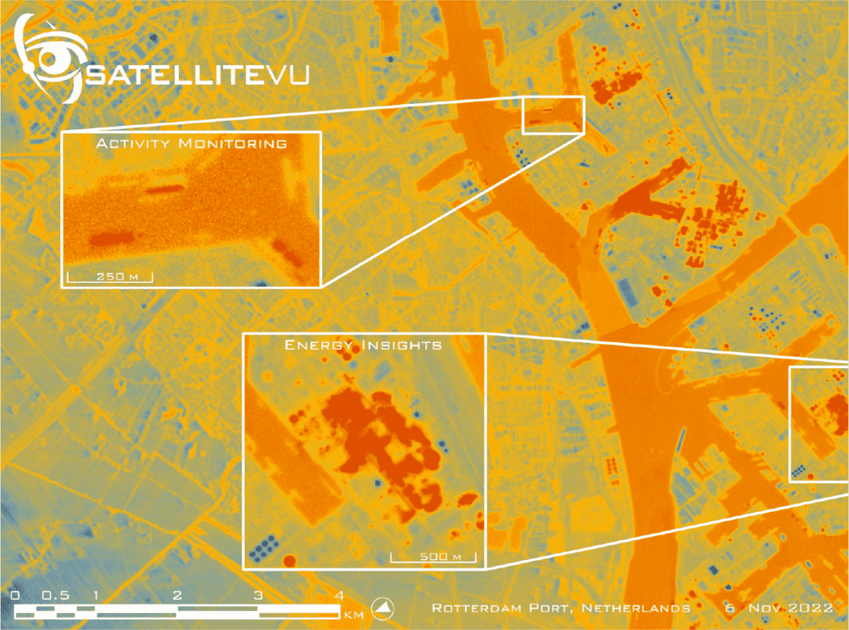
WGIC reports on the latest advancements in GeoAI, digital twins, resilient infrastructure, and GHG monitoring and provides valuable insights into the potential opportunities, use cases, and business models. They also help policymakers build conducive environments for innovation and safe deployments of these technologies within their jurisdictions. They also outline the challenges faced in developing and in the large-scale adoption of emerging technologies.
Technology monitoring priorities based on requests from the geospatial industry make WGIC’s work in the domain much more relevant and usable for the stakeholders.
This approach allows WGIC to gather valuable stakeholder and industry inputs that can benefit IGIF’s innovation pathway and directly contribute to IGIF’s mission of fostering innovation and growth in the geospatial industry. Open data is a public good and critical for realizing the benefits of emerging geospatial technologies. Across the expert consultations conducted for most WGIC reports, there was unanimous agreement on continuously working towards making more government-owned data accessible to everyone. Promoting cross-border data exchanges could help data-starved countries overcome the challenges of data access and enable them to build innovative applications and use cases.
Further, sharing algorithms/models openly is vital to reduce costs/efforts in implementing IGIF. For example, companies have been putting their AI models and algorithms under open source because the business models for AI benefit from the ability to crowdsource new ideas from everywhere.
Financial Pathway
Even as financing of SDIs and IGIF at the country level has been limited, the growth in the value and use of geospatial data beyond the public sector has been astonishing. With new technologies such as cloud computing, AI, and communication technologies, geospatial data can significantly expand business opportunities for small and large businesses. In this scenario, governments can leverage their investments in better delivery of public services with geospatial data (or building SDIs) with additional investments from the private sector through public-private partnerships (PPPs). Thanks to the culture of open data, interoperability, and open-source collaborations, the geospatial industry is mature enough for new business models like PPPs.

Recognizing the untapped potential of PPPs in the geospatial domain and their benefits to IGIF, the WGIC report, “Public-Private Geospatial Collaborations: Exploring Potential Partnership Models” studied the potential of PPPs in IGIF implementation. The report highlighted that PPP business models could be placed “along a continuum of related models, differentiated by their contractual arrangements, areas of business focus, and procurement arrangements.” The report identified twelve PPP-based business models with unique characteristics and relevance to building national SDIs.
Additionally, while the WGIC report on data economy recognized how policies could impact the development of business models in an economy, the GeoAI report underscored the possibilities for creating new business models by recognizing trained AI models as assets. The UN IGIF High-Level working group has a sub-working group on sustainable finance for the country-level action plans. The WGIC report may provide insights into how PPP could support sustainable financing models. Overall, WGIC’s policy work brings the industry perspective on how IGIF’s financial pathway implementation can leverage new and innovative business models at all levels.
Key to the success of IGIF’s financial pathway is private sector participation.Governments could take the example of UN-GGIM, including the Private Sector Network (PSN), as part of its ecosystem to bring a diversity of thought, technology, investments, and innovative business models from the private sector to support the geospatial initiatives of the UN. Examples are UNSD, the GKI Alliance project, SDG Data Alliance. The National Geospatial Advisory Committee (NGAC), USA, brings in private sector participation to discuss geospatial initiatives at the national level. Similarly, including the private sector at the planning stage of IGIF or GKI rollout is critical to source early and valuable inputs from them.
Further, governments need to promote innovation and new business model development by taking the risk of investments in proof of concepts (POC) and pilots. The US’s small business innovation research (SBIR) program is an excellent example of the government stimulating technology innovation and commercialization.
No single entity can implement IGIF alone in any geography or country. It is a job that requires all stakeholders to come together, collaborate, exchange knowledge, and work together to achieve common goals and co-create an inclusive future. This has been the underpinning and guiding philosophy of WGIC, and it invites all organizational and individual stakeholders to partner and collaborate on this mission.